Image Credit: Kathy Michaels
September 17, 2021 - 9:35 AM
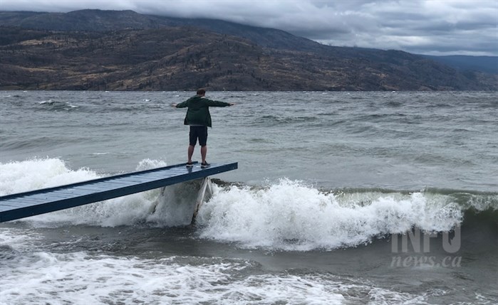
Winds gusting up to 80 km/hr are expected to hit the Central and South Okanagan this evening, Sept. 17, possibly making driving difficult on the Okanagan Connector.
“A robust cold front will move across the Okanagan Valley this evening bringing strong winds and some rain,” the alert from Environment Canada says. “The southerly winds will be the main concern as there is the potential for wind speeds of 50 to 60 km/hr with gusts to 80 km/hr to develop this evening prior to the arrival of the cold front.”
The main areas of concern are: West Kelowna, Peachland, Summerland, Naramata Bench and Penticton.
“Travellers across the Okanagan Connector are advised to be cognizant of strong cross winds over exposed areas of the highway during this time,” the alert says.
More details are available here.
To contact a reporter for this story, email Rob Munro or call 250-808-0143 or email the editor. You can also submit photos, videos or news tips to the newsroom and be entered to win a monthly prize draw.
We welcome your comments and opinions on our stories but play nice. We won't censor or delete comments unless they contain off-topic statements or links, unnecessary vulgarity, false facts, spam or obviously fake profiles. If you have any concerns about what you see in comments, email the editor in the link above.
News from © iNFOnews, 2021