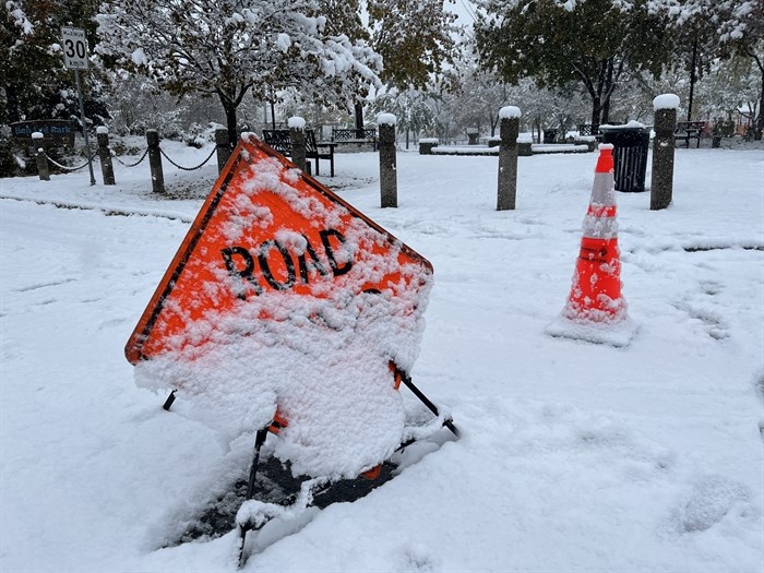
FILE PHOTO - Snow in Kelowna
(CARLI BERRY / iNFOnews.ca)
February 23, 2023 - 5:10 PM
If the unseasonably cold weather that has settled into Kamloops and the Okanagan this week wasn’t bad enough, get ready for a snowy weekend.
Environment Canada has issued a special weather statement for the South Thompson, Shuswap and North Okanagan regions as a frontal system is forecast to move across the B.C. Interior this weekend.
Kamloops, Salmon Arm and Vernon can all expect ten to 20 centimetres of snow although some areas, especially at higher elevations, could get up to 30 cm.
The weather office expects the snow to start falling on Saturday, Feb. 25, and become heavy Saturday night. The snow should ease by Sunday evening as the weather system moves out of the area.
It’s not going to be fun to drive with low visibility and slippery roads expected in the rapidly accumulating snow.
For the latest on the special weather statement go to Environment Canada’s public weather alerts page here.
To contact a reporter for this story, email Howard Alexander or call 250-309-5343 or email the editor. You can also submit photos, videos or news tips to the newsroom and be entered to win a monthly prize draw.
We welcome your comments and opinions on our stories but play nice. We won't censor or delete comments unless they contain off-topic statements or links, unnecessary vulgarity, false facts, spam or obviously fake profiles. If you have any concerns about what you see in comments, email the editor in the link above.
News from © iNFOnews, 2023