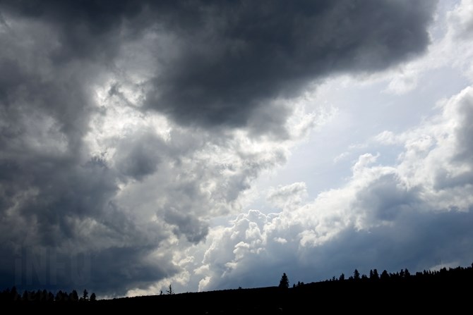
The Thompson—Okanagan certainly doesn't have national bragging rights when it comes to June weather in Canada.
(JENNIFER STAHN / iNFOnews.ca)
June 11, 2020 - 8:00 AM
Southern British Columbia may be the weather envy of our fellow Canadians for many months of the year, but June probably isn’t one of them.
Those of us who are anxiously awaiting summer weather here in Kamloops and the Okanagan can often find June a most frustrating month. Early spring gives us a taste of summer weather but just as you think summer is approaching, a seemingly endless stream of wet, unsettled weather settles upon the region, bringing weather conditions often far worse than April and May.
And so far, June 2020 has put an exclamation mark on that fact. But why does June tend to disrupt our sunny weather?
It’s because of a relatively exclusive-to-B.C. weather condition resulting from the province’s close proximity to the Pacific Ocean.
Environment Canada meteorologist Carmen Hartt says the weather culprit is often what is known in meteorological terms as an ‘upper level low.’
“It’s not like that elsewhere, but British Columbia is under the influence of those upper lows,” Hartt says.
READ MORE: If you thought May was rainy in Kamloops and the Okanagan, get ready for June
She says it’s the sun’s angle that drives the seasons, and June is when the sun’s angle is at its highest.
“There is a lot of contrast at this time of year, as land heats up more quickly than the Pacific Ocean,” she says.
Living so close to the coast, we feel the effects of that contrast, more so than other parts of the country, Hartt says.
She says as those upper level lows develop, generally in the northeast part of the Pacific Ocean, they will set off a series of ‘impulses,’ cycling in a counterclockwise direction.
“That puts us into a southerly flow which tends to bring moisture and unsettled, ‘crummy’ weather to the interior,” Hartt says.
As those lows develop, high pressure systems can often form over Alaska, creating an even higher contrasting set of weather systems.
The high pressure system can force the upper level low to drift across the province, but when that happens, it’s generally followed by convective weather patterns that produce clouds, sun, wind, instability and locally developed thunderstorms.
Hartt says this week’s weather is being influenced by an upper low pressure system off the coast that is pushing in bands of showers.
Tuesday’s cold, cloudy, windy, rainy conditions were followed by convective activity Wednesday that created warmer temperatures, winds, increasing clouds and an afternoon thunderstorm threat.
(By the way, yesterday was the coldest day in Vernon, at 13.2 Celsius, since April 14. No cold temperature records were broken in the Thompson-Okanagan, but that was Vernon’s second coldest maximum temperature for June 9. Hartt says temperatures have been running two to seven degrees below normal regionally, since June 1.)
READ MORE: Wet May and June raising Okanagan Lake levels
The weather pattern caused by an upper level low can repeat throughout the month of June and even into July, much like it is doing so far this month.
Sometimes, an upper level low can remain stationary for days, feeding unstable conditions into the province’s interior.
Hartt says there can be breaks of nicer weather in between the upper level low activity, but the trick is to time outdoor activities to those moments.
She says as the month progresses, the Pacific Ocean begins to warm up, reducing the contrast in temperature between land and sea, which then lowers the prospect of such active weather.
Don’t look for that to happen for at least the next week to 10 days. Hartt says the forecast is calling for a chance of showers almost every day this week, but she says there is a glimmer of hope beyond that.
“There are signs of an improvement with a shift to a more favourable weather pattern, but it’s highly uncertain at this time,” she says.
To contact a reporter for this story, email Steve Arstad or call 250-488-3065 or email the editor. You can also submit photos, videos or news tips to tips@infonews.ca and be entered to win a monthly prize draw.
We welcome your comments and opinions on our stories but play nice. We won't censor or delete comments unless they contain off-topic statements or links, unnecessary vulgarity, false facts, spam or obviously fake profiles. If you have any concerns about what you see in comments, email the editor in the link above.
News from © iNFOnews, 2020