
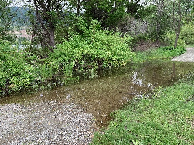
The Okanagan river channel in Penticton is running beyond design levels this week as excessive rain has caused Okanagan Lake levels to rise in recent weeks.
(STEVE ARSTAD / iNFOnews.ca)
June 10, 2020 - 8:00 AM
A rainy spring isn’t helping provincial officials in their bid to control water levels on Okanagan and Kalamalka Lakes this year.
Okanagan Lake is 13 cms above full pool, though not yet a concern for flooding along the lakeshore.
May’s extra rainfall and the continuing wet weather into June “definitely doesn’t help our cause, but it should be good news for the fire season,” Forests, Lands, Natural Resource Operations and Rural Development public safety section head Shaun Reimer says.
“There’s very little snow left in the watersheds. The lake is trying to level off. If we go a few days without rain, it doesn’t rise anymore, but then we all of a sudden get a decent amount of rain, that will bump it up by a centimetre or so,” he says. "We’ve been there before. (Okanagan Lake's level) is not exceptionally high, and I’m not anticipating any dire consequences yet. It really depends on the next 10 days to two weeks, how much more rain is going to fall.”
Reimer says the last time the lake was in a similar state was in 2012 when the lake peaked three centimetres higher than where the level is today. He thinks this year could be a similar situation.
“We aim for normal conditions, try to build some flexibility in our planning, but it’s a bit more difficult when you get a month like May where significantly higher than normal amounts of precipitation falls,” he says.
Although May didn’t break any precipitation records in the Okanagan, Environment Canada meteorologist Carman Hartt says rainfall amounts did put May into the top 10 list for the rainiest May on record.
Reimer says the abnormally wet weather has been impacting the level of Okanagan and Kalamalka Lakes, which are no longer being heavily affected by snowpack melt.
With the snowpack depleted, there has been less pressure on Okanagan Lake tributaries, but the lake has been catching all that runoff from high streams of a couple of weeks ago, and there is a lag time for it entering and exiting the lake.
Reimer says the Penticton river channel is running beyond maximum design flow these days, but unlike 2018, there isn’t much flow differential between the channel and the Okanagan River downstream in Oliver.
“It’s running at a difference of about three metres per second between Penticton and Oliver, compared to the highest differential we’ve ever recorded in 2018, which was 73 metres per second,” Reimer says.
“The silver lining is this weather should be making the wildfire service happy. I’ve always heard June rains were critical for moderating the wildfire season. For us, the next two weeks are a crucial time. We are seeing signs the lake is trying to stop rising,” Reimer says.
Those signs may not be apparent this week, however as Environment Canada is forecasting rain for four out of the next seven days, and five out of the next seven nights.
High water at Kaloya Regional Park on Kalamalka Lake this week.
(CARLI BERRY / iNFOnews.ca)
To contact a reporter for this story, email Steve Arstad or call 250-488-3065 or email the editor. You can also submit photos, videos or news tips to tips@infonews.ca and be entered to win a monthly prize draw.
We welcome your comments and opinions on our stories but play nice. We won't censor or delete comments unless they contain off-topic statements or links, unnecessary vulgarity, false facts, spam or obviously fake profiles. If you have any concerns about what you see in comments, email the editor in the link above.
News from © iNFOnews, 2020