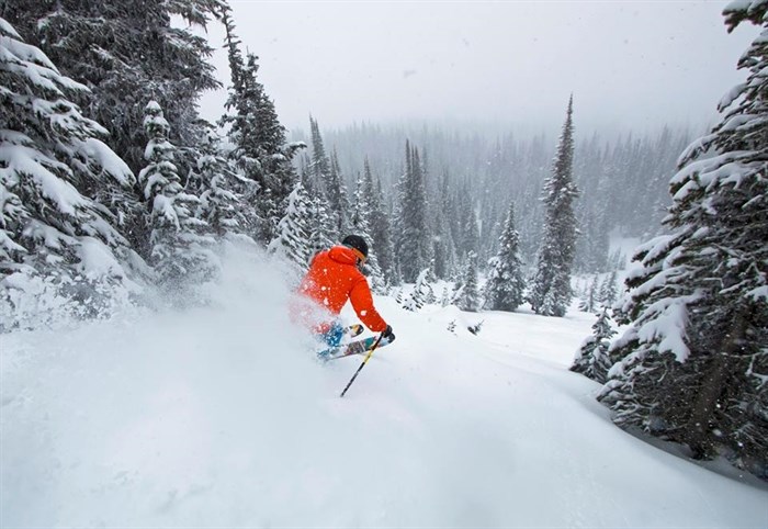
Image Credit: Sun Peaks Resort
September 30, 2015 - 9:30 AM
THOMPSON-OKANAGAN - With autumn well underway it's hard to ignore the fact that it's only a matter of time before the snow hits, but with a strong El Niño expected this season winter could look, and feel, a little different this year.
Meteorologists say the event may be a little overhyped but we could expect temperatures to be a few degrees warmer than seasonal normals January through the spring.
"The affects of El Niño are pretty widespread — it’s hard to differentiate from locality to locality,” Environment Canada meteorologist Matt McDonald says. “There’s a really good chance it will last until Spring."
The weather phenomenon is caused by warmer coastal temperatures and is set to be the strongest on record. While McDonald says there will be a change in temperatures, it’s not a reason to break out the mai thai’s and hawaiian shirts yet.
“The effects are usually only felt beginning of mid-January and beyond,” he says. "I can pretty much guarantee we’re going to see storms this winter. But once we get to the spring we’ll look back on the average conditions. Warmer than normal doesn’t tell us about the day-to-day."
The change in temperature, McDonald says, might result in a difference of precipitation; rain could fall instead of snow. But predictions aren’t changing much for ski hills in the Thompson-Okanagan.
“Normally we get over 500 cm of snow. We open the resort with 70 cm of snow and at Christmas it’s 120 cm. We’re anticipating that will be the same this year," Michael Ballingall, a senior vice president for Big White Ski Resort near Kelowna says.
During past years with a lesser snowfall, Ballingall says there wasn’t ever a point where runs weren’t covered in snow — only occasions where a piece of debris like a rock or tree branch would pop up through runs on the lower side of the mountain.
“(Of) 118 runs about 104 of them were top-to-bottom side-to-side with snow,” he says adding last January was the mountain’s largest snowfall on record.
For Sun Peaks near Kamloops, a previous El Niño in 1997 to 1998 gave the mountain a small base at the beginning of the season in November — about 28.5 centimetres of snow. Last year from 2013 to 2014 the base was about double that amount at 57.4 centimetres. However in April, at the end of the ski season, in both seasons the base wasn’t far off. In 1997 to 1998 it was 156 cm. Last season it was 170.
At Vernon's Silver Star Mountain Resort, operations manager Brad Baker says crews always start preparing terrain earlier so the mountain is able to open before others with less snow.
Snowfall for March 29, 1998, was 180 cm, where around the same time for this past season was 147 cm. In 2014, the March snowfall was 208 cm.
McDonald says this El Niño for 2015 to 2016 is predicted to be the strongest on record, but says 'it’s important to point out the records go back to 1950.'
To contact a reporter for this story, email Glynn Brothen at gbrothen@infonews.ca, or call 250-319-7494. To contact the editor, email mjones@infonews.ca or call 250-718-2724.
News from © iNFOnews, 2015