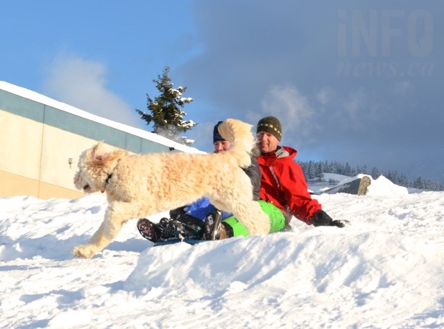
FILE PHOTO
(CHARLOTTE HELSTON / iNFOnews.ca)
December 30, 2021 - 8:34 AM
The extreme cold weather is slowly easing in the Kamloops and Okanagan regions but don’t put those mitts or snow shovels away just yet.
“I really don’t see us getting out of these temperatures any time soon,” Environment Canada meteorologist Brian Proctor told iNFOnews.ca today, Dec. 30. “It’s sort of hanging in there. When you look at the monthly forecast into January, we’re seeing much the same.”
Kamloops is looking at a high today of -15 Celsius and an overnight low of -16 C before moderating to daytime highs of -5 C to -8 C next week.
Kelowna and Vernon are a bit warmer with highs forecast today of -13 C but the overnight low could get to -19 C before the cold eases next week with daytime highs of -5 to -6. Penticton will be a couple of degrees warmer this weekend.
READ MORE: Extreme cold warnings in Thompson, Shuswap, potential record-breaking cold today for Kelowna
While Friday looks to be mainly sunny, expect to see frequent flurries into the new year.
“I don’t see anything really significant in the way of systems that are going to produce more precipitation for us, like more organized widespread snowfall,” Proctor said. “It’s really getting these little impulses that come across that little bit of Arctic air that’s trapped in the valleys and producing some flurry activity at times.”
But the sun should break through the clouds a fair bit over the next few days, he said. Friday is forecast to be mainly sunny.
Looking at the January forecast, it does continue to be colder than average and more extreme cold is possible.
“If we get another big dome building over the north and it decides to slide down into B.C., we’re going to get cold again,” Procter said. “It’s really a question of where the northwest flow exists.”
Late January and early February tend to be the coldest days of the year in the region.
The extreme cold is moving into the prairie provinces with Edmonton at -29 C at 8 a.m. today, Saskatoon at -36 C and Winnipeg at -28.
Numerous daily cold records have been broken in Saskatchewan. The coldest of those being in Leader at -42.6 C, breaking the -37.2 previous record set in 1924. Leader is 170 kilometres northeast of Medicine Hat.
The hot spot in Canada today is Kindakun Rocks on Haida Gwaii at 5.3 C, although Eastern Canada is fairly mild with Toronto at 1 C, Montreal at -3 C and St. John’s at 0 C.
The cold spot is Myrnam, AB, which is 170 km east of Edmonton. It’s sitting at -43.1 C.
Alpine base at regional ski hills:
-
140 cm – Sun Peaks
-
133 cm – Silver Star
-
145 cm – Big White
-
151 cm – Apex
To contact a reporter for this story, email Rob Munro or call 250-808-0143 or email the editor. You can also submit photos, videos or news tips to the newsroom and be entered to win a monthly prize draw.
We welcome your comments and opinions on our stories but play nice. We won't censor or delete comments unless they contain off-topic statements or links, unnecessary vulgarity, false facts, spam or obviously fake profiles. If you have any concerns about what you see in comments, email the editor in the link above.
News from © iNFOnews, 2021