Image Credit: Shutterstock
December 27, 2021 - 10:30 AM
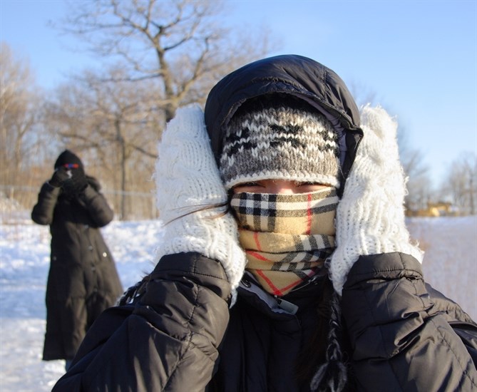
Temperatures hit a low of -29 Celsius at Kelowna Airport and -28 C at Kamloops Airport at 8 a.m. today, Dec. 27, according to data posted on Environment Canada’s website.
The previous record cold for today in Kelowna was -28.9 C set in 1971, which is the same precise temperature reported by Environment Canada meteorologist Philippe-Alain Bergeron told iNFOnews.ca. With the possibility of it cooling even further after 8 a.m., the official record may be broken. By 9 a.m. the posted temperature had risen to -28 C.
That’s still far from the all-time cold in Kelowna of -36.1 C set on Dec. 30, 1968.
Kamloops, at -28 C, is far from the coldest temperature for the day for that city of -31.1 set in 1971. The coldest day ever recorded in Kamloops was -37.2 set on Jan. 29, 1969.
The unusually cold weather is due to an Arctic front blanketing Western Canada
READ MORE: Western Canada under extreme cold warning, wind chill reaching -55 C
Environment Canada issued extreme cold warnings for the North and South Thompson and Shuswap regions this morning. Light winds will create wind chills in the range of -35 C, easing off later in the the day.
“This cold wave is very significant but not so much in terms of record-breaking,” Bergeron said. “This is something we might see every winter or two. It’s not on par, if you were to compare to that all-time record breaking heat dome from June.”
READ MORE: One more day of the heat wave pushes Okanagan and Canadian records even higher
Things should get a little better as the week progresses.
“It remains cold the entire week but there is a little bit of moderation,” Bergeron said. “This is most likely the coldest morning right now.”
Penticton was at -21 C this morning. It’s coldest temperature fever was -27.2 on Dec. 30, 1968.
There was no temperature showing for Vernon on the Environment Canada website. The coldest day in the Vernon area was at the Coldstream weather station where it got down to -38.9 on Dec. 29, 1968.
A high of -18 is forecast today but, by the New Year, the daily high could hit -8 in Kamloops. Temperatures are forecast to be about 1 C warmer in the Central and Northern Okanagan. Penticton is looking at a high of -14 C today but still no higher than -7 C by Jan. 2.
There’s also a chance a flurries through Thursday but not much more than a couple of centimetres accumulation in some areas, Bergeron said.
Daily cold records were set in numerous B.C. locations yesterday including Summerland at -19.5 C, breaking the -17.8 C set in 1948.
Abbotsford dropped to -12.4 on Boxing Day, breaking the previous record of -11.9 set in 2008.
Normally balmy Victoria dropped to -8.7 C yesterday, breaking its record for the coldest Boxing Day since records started being kept in 1874. The previous record cold was -5.4 C set in 1996.
An Arctic outflow warning was issued for coastal and Vancouver Island regions this morning through Wednesday with wind chills getting to -20 C.
At 9 a.m. today, Environment Canada showed -13 C in Vancouver.
It’s colder further north with Prince George at -33 C and Fort St. John at -32 C.
“Watch for cold related symptoms: shortness of breath, chest pain, muscle pain and weakness, numbness and colour change in fingers and toes,” the Environment Canada warning says. “Frostbite can develop within minutes on exposed skin, especially with wind chill.”
It also suggests checking on family, friends, neighbours and pets.
“If it’s too cold for you to stay outside, it’s too cold for your pet to stay outside,” the extreme cold warning states.
While it’s extremely cold in the valley bottoms, it’s actually slightly warmer at regional ski hills and those temperatures will likely moderate as an inversion forms and the cold air gathers in valley bottoms later today.
Still, the local ski hills were showing temperatures in the -25 C to -28 C range this morning.
Alpine snow levels:
-
138 cm. – Sun Peaks
-
137 cm. – Silver Star
-
155 cm. – Big White
-
147 cm. – Apex
To contact a reporter for this story, email Rob Munro or call 250-808-0143 or email the editor. You can also submit photos, videos or news tips to the newsroom and be entered to win a monthly prize draw.
We welcome your comments and opinions on our stories but play nice. We won't censor or delete comments unless they contain off-topic statements or links, unnecessary vulgarity, false facts, spam or obviously fake profiles. If you have any concerns about what you see in comments, email the editor in the link above.
News from © iNFOnews, 2021