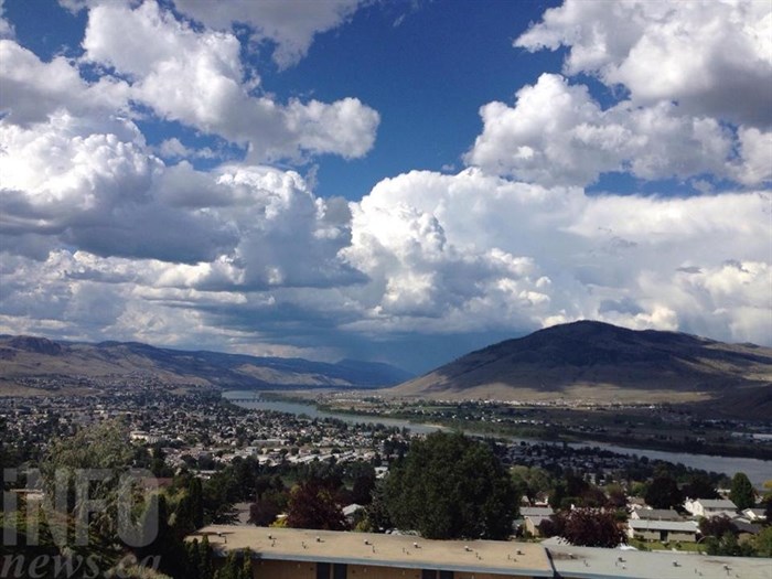
FILE PHOTO
(ASHLEY LEGASSIC / iNFOnews.ca)
June 06, 2022 - 12:30 PM
After some heavy downpours and thunderstorms in the Kamloops and Okanagan regions over the weekend there’s going to be a welcome respite to kick off the week.
But expect more of the same as the week progresses.
“That’s kind of been the story all spring,” Environment Canada meteorologist Bobby Sekhon told iNFOnews.ca today, June 6. “Now that we’re into summer, that narrative continues with no more than just a few days of some nice weather, then it’s followed by a showery cooler stretch. That’s kind of what we’re expecting later this week."
Meteorological summer began June 1.
Temperatures in the Okanagan are expected to hit 20 Celsius today and climb to 24 C on Wednesday then taper off later in the week. Normal highs for this time of year are 22 C.
Rain is expected to start Wednesday with a 60% chance of showers turning to rain on Friday and Saturday.
It’s much the same forecast for Kamloops but warmer. The high today is forecast to be 23 C with tomorrow reaching 26 C before cooling later in the week.
It’s much harder to predict rainfall amounts than temperatures, Sekhon said. That’s especially true at this time of year.
“A lot of our precipitation this time of year is driven by convection, meaning thunderstorms or thunderstorm-like clouds,” he said. “With those, there’s a high degree of variability. We can go from getting a lot in one area to hardly any in another area. It becomes really hard to predict that even a few days out.”
Yesterday, for example, Kamloops officially recored 1.8 millimetres of rain, Vernon was at 2.7 mm, Penticton got 3.7 mm and Kelowna 6.2 mm at the recording station in each city.
READ MORE: Kamloops hammered by thunderstorms twice in a week
While it doesn’t look like the coming rain will be as intense as last weekend, that can change on a daily basis.
For those concerned about how much rain might fall, check the Environment Canada weather forecast daily.
“June is the wettest month of the year in many parts of the Interior,” Sekhon said. “So far, it’s starting off on that note. Hopefully we can balance not getting too much precipitation to cause flooding with enough so that we get some moisture in the soils to try to prevent some forest fires.”
To contact a reporter for this story, email Rob Munro or call 250-808-0143 or email the editor. You can also submit photos, videos or news tips to the newsroom and be entered to win a monthly prize draw.
We welcome your comments and opinions on our stories but play nice. We won't censor or delete comments unless they contain off-topic statements or links, unnecessary vulgarity, false facts, spam or obviously fake profiles. If you have any concerns about what you see in comments, email the editor in the link above.
News from © iNFOnews, 2022