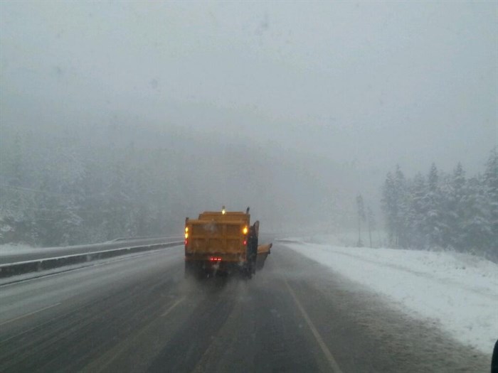
FILE PHOTO - Travelling behind a snow plow on the Coquihalla Highway on Nov 2, 2013.
Image Credit: Contributed/B.C. Ministry of Transportation/Jess M. Cote
October 22, 2020 - 9:08 AM
Arctic air is dropping south into the southern Interior today, bringing with it snow in the mountain passes and maybe even some snow tonight in the valley bottoms in the Okanagan and Kamloops.
Special weather statements from Environment Canada warn of early season snowfalls today, Oct. 22, with snow continuing through the weekend.
The weather statements issued yesterday for the South Thompson, Nicola, Okanagan Valley and Boundary regions have been continued, while new statements issued this morning now cover the Shuswap and North Thompson areas.
As well, the weather office has continued the special weather statements for several upper elevation highways. Drivers are being asked to be prepared for winter driving conditions on the Coquihalla Highway from Kamloops through Merritt to Hope, the Okanagan Connector from Kelowna to Merritt, and new this morning, the Trans-Canada Highway from Rogers Pass through to Eagle Pass.
A low pressure system off Vancouver Island will move onto the Washington State coast by this evening, according to the special weather statement.
Environment Canada says modified Arctic air is dropping south through the Interior and by this afternoon the front should reach Kamloops and “pile up against the east side of the Rockies.”
It will hit an already cool air mass creating widespread snow from the Chilcotin and 100 Mile area through to the Fraser Canyon and east to the Kootenays and parts of the Columbias. In these areas, snowfall amounts range from five to 15 centimetres.
By Saturday, the weather office is predicting a drying trend as that frigid Arctic air hits the rest of the Southern Interior. You can expect temperatures about 10 degrees below normal for this time of year all weekend.
For the very latest on weather statements, watches and warnings go Environment Canada’s website here.
For the latest road conditions, Drive B.C. has you covered here.
To contact a reporter for this story, email Carli Berry or call 250-864-7494 or email the editor. You can also submit photos, videos or news tips to the newsroom and be entered to win a monthly prize draw.
We welcome your comments and opinions on our stories but play nice. We won't censor or delete comments unless they contain off-topic statements or links, unnecessary vulgarity, false facts, spam or obviously fake profiles. If you have any concerns about what you see in comments, email the editor in the link above.
News from © iNFOnews, 2020