Image Credit: FILE PHOTO
August 16, 2021 - 5:09 PM
The Lytton Creek wildfire has spread further north, with strong winds pushing it east of Highway 8 and the Nicola River.
Parts of the wildfire are now roughly four kilometres from Highway 97C, northwest of Merritt, while wildfire crews directly attacked the blaze along Highway 8 and the Nicola River to create a safe passage for emergency responders today, Aug. 16, according to the B.C. Wildfire Service.
Highway 8 remains closed in both directions west of Merritt, between Petit Creek and Porcupine Ridge Roads.
The westbound lanes of Highway 97C are closed until further notice from the Highway 97D junction to Brolin Road, according to DriveBC.
In the Botanie Valley, the wildfire spread northward with spot fires travelling over 2 kilometres, according to the wildfire service. Fires were spotted near the community of Spences Bridge.
READ MORE: Fire crews forced to take shelter battling White Rock Lake wildfire
Properties in the Lower Nicola region were ordered to evacuate on Aug. 15, west of Merritt, while the City of Merritt is also on evacuation alert.
Lower Nicola evacuees are being urged to seek shelter with friends or family due to a shortage of accommodations in Kamloops.
If accommodations with friends or family is not available, evacuees are told to evacuate to an Emergency Support Service reception centre in Chilliwack by travelling to Merritt, then up to Kamloops and through the Fraser Canyon via Highway 1. Evacuees can also travel from Merritt to Aspen Grove, then Princeton and Chilliwack via Highway 3.
READ MORE: Time-lapse shows spread of wildfire in West Kelowna
Due to road closures in the area, Emergency Management B.C. is assessing scenarios that could include aerial evacuations, should Merritt be ordered to evacuate.
More evacuation information can be found on the Thompson Nicola Regional District website here.
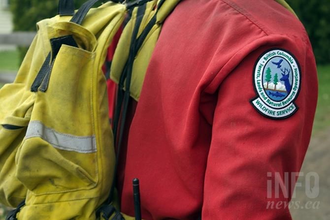
The Lytton Creek wildfire, which was discovered on June 30, is now estimated to be 71,323 hectares in size. There are currently 86 firefighters assigned to the blaze, with 11 helicopters and 24 pieces of heavy equipment. The wildfire service also has 28 personnel assigned to structural protection at the Lytton Creek wildfire.
READ MORE: Two wildfires south of Merritt have merged
— With files from Carli Berry.
To contact a reporter for this story, email Levi Landry or call 250-819-3723 or email the editor. You can also submit photos, videos or news tips to the newsroom and be entered to win a monthly prize draw.
We welcome your comments and opinions on our stories but play nice. We won't censor or delete comments unless they contain off-topic statements or links, unnecessary vulgarity, false facts, spam or obviously fake profiles. If you have any concerns about what you see in comments, email the editor in the link above.
News from © iNFOnews, 2021