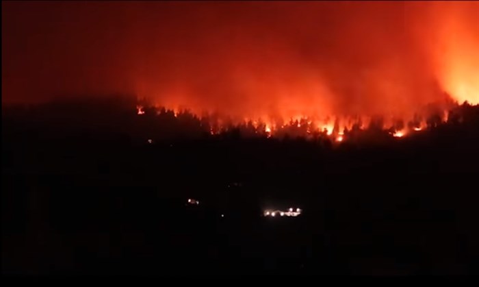
The Mt. Law wildfire in West Kelowna, Aug. 16, 2021.
Image Credit: FACEBOOK/Danny Kmemller
August 16, 2021 - 2:00 PM
A West Kelowna resident captured the spread of the Mt. Law wildfire that caused the evacuation of almost 500 West Kelowna homes last night, Aug. 15.
The Mt. Law Wildfire is located north of Highway 97C, southwest of the Glenrosa neighbourhood and is mapped at roughly 800 hectares in size, according to the B.C. Wildfire Service.
Danny Kmemller captured the growth of the fire through a time-lapse video, taken from 10 p.m. to 2 a.m. on Galloway Road, Aug. 15 and 16.
The fire quickly grew last night and it forced the Central Okanagan emergency operations centre to issue an evacuation order for 460 properties. It is currently burning within West Kelowna's boundaries.
Structures have been damaged but Regional District of Central Okanagan crews have not been able to assess to the full extent of the damage.
READ MORE: Significant structure damage caused by wildfires in Central Okanagan
The fire is suspected to be human caused.
To contact a reporter for this story, email Carli Berry or call 250-864-7494 or email the editor. You can also submit photos, videos or news tips to the newsroom and be entered to win a monthly prize draw.
We welcome your comments and opinions on our stories but play nice. We won't censor or delete comments unless they contain off-topic statements or links, unnecessary vulgarity, false facts, spam or obviously fake profiles. If you have any concerns about what you see in comments, email the editor in the link above.
News from © iNFOnews, 2021