Image Credit: Shutterstock
September 26, 2021 - 3:00 PM
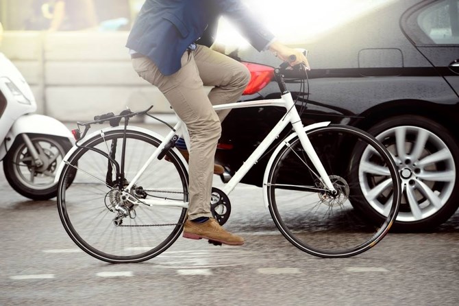
While it’s currently possible to cycle between two very popular trails in Kelowna, it requires navigating through heavy traffic in the busiest area of Kelowna near Orchard Park mall.
The City of Kelowna plans to link the Okanagan Rail Trail and the Mission Creek Greenway but it’s going to take time and money.
The city’s 2040 Transportation Master Plan is going to city council on Monday, Sept. 27.
Two of its key goals is to quadruple the number of trips made by bicycle while reducing the average distance driven per person by 20%.
The Rail Trail runs for 10 kilometres from downtown Kelowna to the airport and passes closely by the commercial core of the city around Orchard Park mall and the new Costco store now under construction.
READ MORE: Okanagan Rail Trail fans have new tool to navigate the route
The Mission Creek Greenway runs from Okanagan Lake in the South Mission, curving close to Orchard Park then runs along the southern edge of the Rutland neighbourhood.
Both are relatively flat and popular with recreational and commuter cyclists.
The shortest routes between the two are on very busy Dilworth Drive or Leckie Road that, now, only have bike lanes painted on the side of the pavement.
READ MORE: Kelowna has 8 of the 10 worst intersections for car crashes in the Southern Interior
“A north-south biking connection between the Okanagan Rail Trail and Mission Creek Greenway that would also connect to the Midtown Urban Centre, Dilworth Drive, Cooper Road and Leckie Road are possible alignments,” the transportation plan states. “If development and funding conditions favour one corridor, the corridor that can be completed the soonest is the priority.”
The plan also calls for the extension of the existing Ethel Street bike corridor in both directions, to Cawston Avenue in the north and Barrera Road in the south. That’s proposed to be done within the next five years at a cost of $8.7 million.
Other cycling improvements in the plan include a protected bike lane along Bertram Avenue – where numerous highrise towers have been proposed – to connect with an overpass over Highway 97 to the Central Green development.
While construction of the overpass is expected to start this fall, the bike lane isn’t pencilled in until sometime between 2031 and 2035 at a cost of $6.7 million.
Protected bike lanes are also proposed for the mostly one-way Leon and Lawrence Avenues between Abbott and Ethel Streets. That work is projected for 2031 to 2035 at a cost of $10.9 million.
When it comes to new roadways to speed up the traffic flow, there’s not much on the books.
The main one is to extend Clement Avenue from Spall Road to Highway 33 next to the Rail Trail. This would be a two-lane road and eventually could be extended to McCurdy Road. It’s tentatively planned for 2031 to 2035 at a cost of $37.4 million.
READ MORE: $57 million extension of Clement Ave just one of many potential projects for Kelowna
At the time that’s done, the plan calls for dedicated transit lanes on Highway 97.
Coming sooner, but of benefit to fewer people, will be the extension of Hollywood Road North to the UBC Okanagan campus. The piece from Sexsmith Road to UBOC could be done by 2030 for $15.7 million.
The other major road project on the books is to extend Burtch Road to KLO Road on one end and curve it over to the Glenmore-Spall Road intersection on the other end. The time frame for that is 2026 to 2030 at a projected cost of $29.3 million.
Another key objective of the plan is to double transit ridership by 2040.
One way of doing that will be increase frequency of buses on the roads.
Right now only 10% of the buses come every 15 minutes on a fall weekday. The plan is to increase that to 35%. At the other end of the spectrum, 45% of the routes are hourly. The plan is to cut that to 30%.
The big ticket item for transit is a new garage proposed near UBCO. The city has budgeted $10.2 million to be spent by 2026 but that’s just a small part of the estimated $60 million cost, which will be shared by other governments.
The Transportation Plan is to go out for stakeholder and public input in September and October and council will be asked to endorse it in December.
To contact a reporter for this story, email Rob Munro or call 250-808-0143 or email the editor. You can also submit photos, videos or news tips to the newsroom and be entered to win a monthly prize draw.
We welcome your comments and opinions on our stories but play nice. We won't censor or delete comments unless they contain off-topic statements or links, unnecessary vulgarity, false facts, spam or obviously fake profiles. If you have any concerns about what you see in comments, email the editor in the link above.
News from © iNFOnews, 2021