The Friends of the Okanagan Rail Trail have created an app and downloadable brochure to provide trail users with more information on the route.
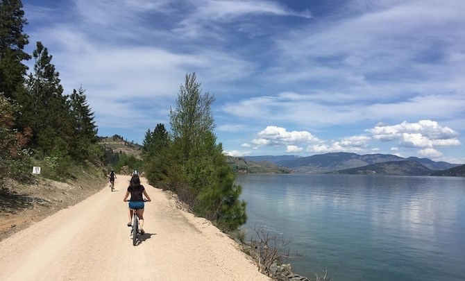
Image Credit: Tourism Kelowna
May 05, 2021 - 6:00 PM
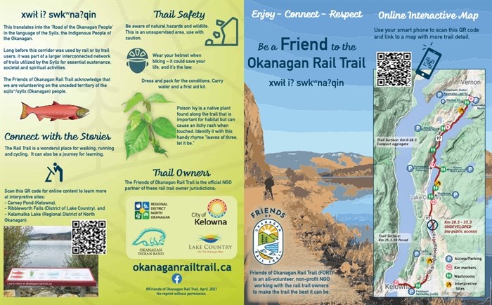
The Friends of the Okanagan Rail Trail have created an app and downloadable brochure to provide trail users with more information on the route.
The app has QR codes that, when scanned, provide access to an interactive map or information on interpretive sites at Carney Pond in Kelowna, Ribbleworth Falls in Lake Country and Kalamalka Lake.
The trail runs 50 kilometres from downtown Kelowna to Coldstream, except for the seven kilometres from Old Vernon Highway north of Kelowna International Airport to Lake Country. The Okanagan Indian Band is still waiting for the federal government to transfer title to the land along Duck Lake to the band so the trail can be completed.
The brochure provides basic information on trail courtesy (bike riders should pass in single file and call out or ring a bell before passing, for example) and basic information on the trail, First Nations, along with how to volunteer and donate money.
There is also a printable 24-inch by 36-inch poster for stores who serve Rail Trail users.
The app can all be found on the Friends of Okanagan Rail Trail’s Facebook page here.

Image Credit: Friends of Okanagan Rail Trail
To contact a reporter for this story, email Rob Munro or call 250-808-0143 or email the editor. You can also submit photos, videos or news tips to the newsroom and be entered to win a monthly prize draw.
We welcome your comments and opinions on our stories but play nice. We won't censor or delete comments unless they contain off-topic statements or links, unnecessary vulgarity, false facts, spam or obviously fake profiles. If you have any concerns about what you see in comments, email the editor in the link above.
News from © iNFOnews, 2021