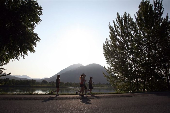
Highlights from the 2014 Kamloops Marathon.
Image Credit: Kamloops Marathon/Facebook
July 22, 2015 - 4:30 PM
KAMLOOPS – The Kamloops Marathon this weekend will span roughly 42 kilometres and that means lane closures and probably some traffic tie-ups.
Colleen Lepik, transportation coordinator with the city, says runners will use road shoulders and multi-use paths where possible Sunday, July 26.
The majority of closures will be confined to sections of Halston Avenue and and Westsyde Road.
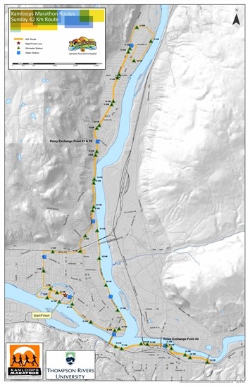
The course begins at McArthur Island Park before making its way north down Singh Street. The northbound lane on Singh Street might be cordoned off depending on the volume of runners. Otherwise runners are confined to the side of the road.
The race take an easterly turn down Halston Avenue. Traffic will be controlled where Parkcrest Drive meets Halston to allow runners to pass through the intersection.
Along Halston Avenue, from Ollek Street to Eight Street, runners will be using the eastbound curb lane, which will be closed to traffic.
Both Eight Street off and on ramps onto Halston Avenue will be closed until all runners have passed through.
As the marathon heads up Westsyde Road, the northbound curb lane on Westsyde Road from Eight Street to Harrington Drive will be closed for runners.
They will continue on the side of the road until the Dunes Golf course. After the race heads across Dunes Drive then south down Overlanders Drive, runners are confined to the shoulder of the road. The marathon takes a turn up Bank Road before reconnecting with Westsyde Road.
The course veers off east slightly to continue down Schubert Drive before crossing the Overlanders Bridge via the multi-use path into the downtown. Lepik says the bridge will not be closed to traffic because runners will use the pedestrian path.
The marathon follows the Rivers Trail to Highway 5 where it loops back along the same route back over the Overlanders Bridge.
Runners will head down Royal Avenue back to McArthur Island, where the race will end.
Routes of the half marathon, 8-km and 3-km races are all variations of the 42 kilometre race.

Map of full 42-kilometre race.
Image Credit: Kamloops Marathon
To contact a reporter for this story, email Dana Reynolds at dreynolds@infonews.ca or call 250-819-6089. To contact an editor, email mjones@infonews.ca or call 250-718-2724.
News from © iNFOnews, 2015