(STEVE ARSTAD / iNFOnews.ca)
June 20, 2022 - 11:30 AM
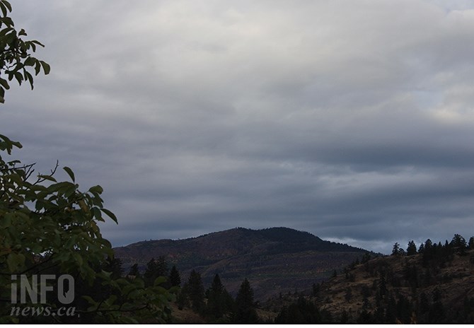
A “cold low” is moving into the Southern Interior this week that will drop temperatures to unseasonably low levels, especially on Thursday.
“It’s going to be slow moving so precipitation is going to persist for the next couple of days – from Tuesday to Thursday,” Environment Canada meteorologist Ken Dosanjh told iNFOnews.ca today, June 20. “This precipitation event – more affecting the higher terrain regions – along with the higher than seasonal snowpack leads to concern. That is why the B.C. River Forecast Centre has issued flood watches.”
The heavy rain will mostly avoid Kamloops and the Okanagan. Although there’s a 30% chance of precipitation today and 40% to 60% for Wednesday and Thursday, the amounts in these lower lying areas are expected to be “pretty marginal,” Dosanjh said.
READ MORE: Heavy rain in parts of B.C. a concern for flood-prone areas: River Forecast Centre
The cold low will be “quasi-stationary” over higher elevation areas north of Kamloops, allowing for sustained rainfall.
Temperatures are expected to rise to 26 Celsius in Kamloops today before slowly dropping to a daytime high of 15 C on Thursday. The normal high temperature for Kamloops for this time of year is 26 C.
For the Central and North Okanagan, highs today are expected to reach 23 C, rise to 24 C Tuesday and Wednesday before dropping to 16 C on Thursday.
Penticton is forecast to hit 25 C today and 27 C tomorrow before also dropping down to 16 C on Thursday.
All this is expected to change starting Friday, when the low cold front is forecast to be pushed out by a ridge of high pressure that will see sunshine on the weekend with, likely, the highest temperatures of the year, Dosanjh said.
READ MORE: Flood emergency centre opens in Penticton as Okanagan Lake levels rise
Kamloops and the Okanagan are expected to have temperatures in the high 20s and low 30s over the weekend. That may continue into next week, he said.
That could trigger the rapid melting of upper level snowpacks.
READ MORE: Okanagan snowpack is 243% of normal
To contact a reporter for this story, email Rob Munro or call 250-808-0143 or email the editor. You can also submit photos, videos or news tips to the newsroom and be entered to win a monthly prize draw.
We welcome your comments and opinions on our stories but play nice. We won't censor or delete comments unless they contain off-topic statements or links, unnecessary vulgarity, false facts, spam or obviously fake profiles. If you have any concerns about what you see in comments, email the editor in the link above.
News from © iNFOnews, 2022