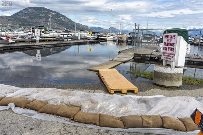
There is a temporary bridge and sandbags at the Penticton Yacht Club and Marina in response to high lake levels.
(DAN WALTON / iNFOnews.ca)
June 18, 2022 - 12:31 PM
The Thompson Okanagan snowpack levels are well above the average for the season, causing flood concerns.
As of June 15, the Okanagan region has reached 243% of normal, according to B.C.’s River Forecast Centre. The South Thompson is 186% of normal and the North Thompson has reached 232%.
"Flood risk remains high due to delayed melt of the mountain snow pack throughout the province and continued unsettled weather conditions," according to the River Forecast Centre's last bulletin, June 15. "This year, five stations measured record high snow values for June 15, including sites in the South Thompson, Upper Columbia, and West Kootenay."
Snowmelt was delayed by two to four weeks due to extended cooler weather in April and May and roughly half of the snow pack at automated snow weather stations melted by mid-June, according to the forecast centre.

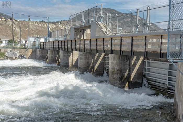
The Okanagan Lake Dam in Penticton.
(DAN WALTON / iNFOnews.ca)
"Over the past couple of days, the Kelowna regions saw more rain than expected in the mountains and the valley, which has led to rising water levels in creeks and streams and flowing into Okanagan Lake," according to the Central Okanagan Emergency Operations Centre.
A local state of emergency was declared for the City of Kelowna on June 14. Okanagan Lake reached full pool June 17 but has not peaked, according to the centre.
The City of Penticton issued a release to say lake levels are still within a normal range but the Emergency Operation Centre is being active as a proactive measure.
“Recognizing that this will be a slow moving event, we have plenty of time to prepare for any protective measures, should they be required over the next few weeks,” said EOC director Anthony Haddad said in the release.
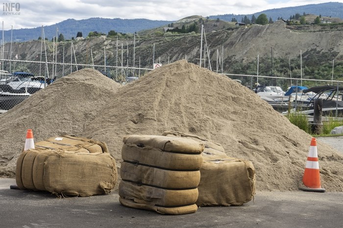
B.C. Wildfire Service crews have been assisting the city with sandbag operations, including 10,000 bags for reserve. Additionally bags have been placed around the Penticton Yacht Club located at a lower lying level within municipal jurisdiction as an additional precautionary measure, according to a press release from the city.

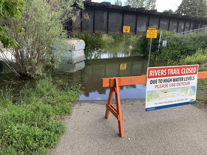
Riverside Park in Kamloops
Image Credit: Shannon Ainslie
The District of Summerland said on Facebook on June 17 that no significant flood events are anticipated the local creeks and waterways are slowly rising.
The Similkameen basin is at 210% and the Boundary region is 181% of normal.
The Regional District of Central Okanagan warned boaters on June 17 to watch out for the debris that can be found floating on lakes after the spring runoff.
In Kelowna, some underpasses, KLO Creek Regional Park and a section along the Mission Creek Greenway remain closed due to high water levels.

A pile of sand and sandbags.
(DAN WALTON / iNFOnews.ca)
- This story was updated at 1:22 p.m. to include information about the B.C. Wildfire Service assisting with sandbagging.
To contact a reporter for this story, email Dan Walton or call 250-488-3065 or email the editor. You can also submit photos, videos or news tips to the newsroom and be entered to win a monthly prize draw.
We welcome your comments and opinions on our stories but play nice. We won't censor or delete comments unless they contain off-topic statements or links, unnecessary vulgarity, false facts, spam or obviously fake profiles. If you have any concerns about what you see in comments, email the editor in the link above.
News from © iNFOnews, 2022