(STEVE ARSTAD / iNFOnews.ca)
November 16, 2015 - 8:30 AM
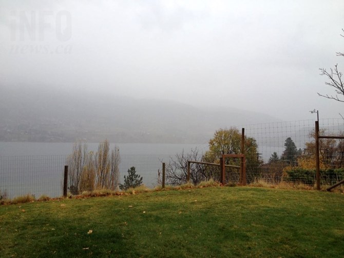
OKANAGAN - On the heels of a wet and windy Sunday, a mix of rain and snow will kick off the week in the Okanagan, along with strong winds.
Environment Canada recorded precipitation throughout the region on Sunday, with the Vernon area receiving the most, 13.8 millimetres, and more rain and snow is expected this week.
Periods of rain and snow are expected again this afternoon, Nov. 16, in Vernon, with 10 to 15 mm overnight and another 10 to 15 mm Tuesday before the skies clear the rest of the week. The weather office is calling for temperatures to be near seasonal normals much of the week, with highs ranging from 3 Celsius to 7 C and lows from 1 C to -4 C.
In Kelowna, similar conditions are expected, with rain beginning this afternoon and then 5 to 10 mm overnight. A snow level of 800 metres is expected during the day, though it will rise to 1,000 m overnight. Along with snow or rain, winds are expected to become 40 gusting to 60 km/h near midnight. More rain is expected Tuesday, along with strong winds, before the skies clear the rest of the week. Temperatures are expected to range from highs of 3 C to 9 C and lows of 4 C tonight to -4 C by Thursday night.
In the South Okanagan, temperatures will be just a bit warmer today and tomorrow, but the snow level will be lower today, 600 m, and winds will be even stronger, 50 gusting to 70 km/h overnight. Temperatures will remain steady at about 6 C overnight before reaching a high of 10 C Tuesday. Tuesday will bring another chance of rain or snow and windy conditions before the sun comes out on Wednesday. The rest of the week will likely see highs in the range of 3 C to 5 C while lows will be in the range of -1 C to -4 C.
Seasonal normal temperatures at this time of year are a high of 4 C and a low of -1 C throughout the region.
Highway passes received more snow and rain over the weekend as well, with the Coquihalla Summit currently sitting at more than 45 centimetres of snow on the ground while the Pennask Summit weather station is recording nearly 39 cm and Allison Pass on Highway 3 is at 42 cm.
A special weather statement warning of heavy snow and strong winds today and tonight has been issued for the Coquihalla Highway from Hope to Merritt and Highway 3 from Hope to Princeton. Up to 25 cm is expected at the Coquihalla Summit while Allison Pass could received up to 20 cm of snow tonight. The snow is expected to change to rain on Tuesday.
Several natural avalanches have occurred recently and Avalanche Canada warns the risk is currently in the moderate to considerable range in Glacier National Park and other parks in the eastern part of the province, though it could increase to high in the alpine areas on Tuesday.
To contact a reporter for this story, email Jennifer Stahn at jstahn@infonews.ca or call 250-819-3723. To contact an editor, email mjones@infonews.ca or call 250-718-2724.
News from © iNFOnews, 2015