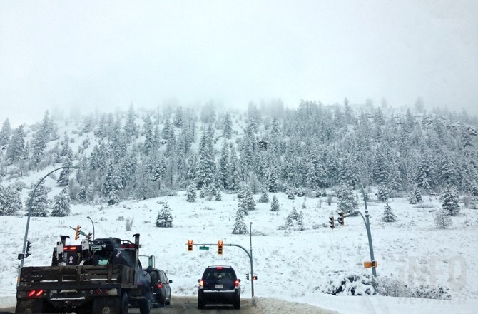
(JENNIFER STAHN / iNFOnews.ca)
January 06, 2016 - 10:30 AM
THOMPSON-OKANAGAN - After a cold snap and day after day of snowfall, temperatures are finally expected to begin rising by the middle of January as the 2016 El Niño weather pattern hits the region.
The second half of winter is when El Niño effects are generally felt in Western Canada, as the system brings winds from warmer ocean water close the equator. The result brings a higher than normal temperature in certain areas.
But don’t break out the sun shades and beach towels yet, meteorologists warn, the increased temperatures are distributed over a monthly period, meaning temperatures might be only a degree higher than what locals are used to from previous years.
"You might still see some snow or a couple of days of arctic air, but the overall effect will be warmer than normal when it comes to looking at the mean temperatures. That doesn’t mean every single day is warmer than normal,” Lisa Coldwells, a meteorologist with Environment Canada, says.
The daily average high for Kamloops and Okanagan regions is around -1 Celsius this time of year, but Coldwells says from middle to the end of the month the temperature could be above that by a degree or two. In Penticton, Coldwells says the average temperatures are expected to be around 4 C by mid-February.
As for whether or not El Niño will lead to a quicker snow melt, Coldwells says its difficult to make a prediction. The weather pattern can change precipitation, so you may see snow in the mountains while the mid-mountain areas could see more rain than snow as precipitation falls.
This year's El Niño was expected to be the strongest on records dating back to 1950.
In California a series of El Niño storms is expected to the drought-ridden state, increasing the risk of flood in many areas.
To contact a reporter for this story, email Glynn Brothen at gbrothen@infonews.ca, or call 250-319-7494. To contact the editor, email mjones@infonews.ca or call 250-718-2724.
News from © iNFOnews, 2016