(JENNIFER STAHN / iNFOnews.ca)
November 22, 2015 - 3:45 PM
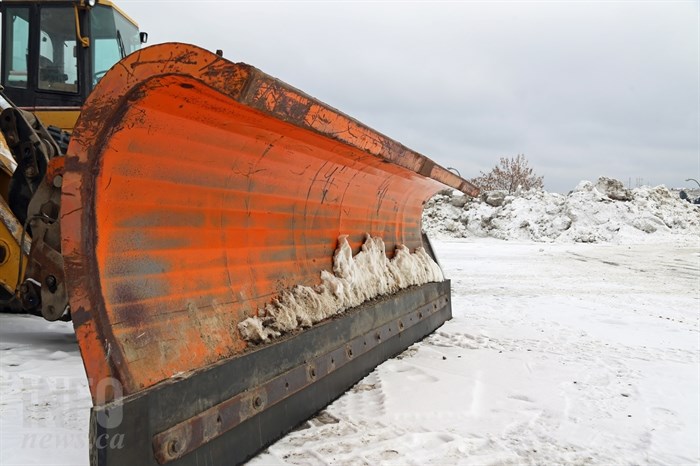
VERNON – A system of moist air from the Pacific is going to crash into cold Arctic air descending from the north dumping snow over the North Okanagan, Shuswap and North Thompson tonight and tomorrow.
Environment Canada has issued a snowfall warning for the regions today, Nov. 22.
Forecasters say the snow will be caused by a clash of air masses over the Southern Interior, where a developing Pacific front off the coast meets cold Arctic air pushing down from the Central Interior. The same system is responsible for a special weather statement issued for all of the Southern B.C.
The warning is calling for up to 20 centimetres of snow over the Arrow Slocan, 15 cm over the West Columbia and 10 cm over the Shuswap, including Salmon Arm, the North Okanagan, including Vernon, and North Thompson.
The snow will start falling overnight, continue through Monday, and taper off by Tuesday.
Be prepared to adjust your driving with changing road conditions, the warning says. Visibility may be suddenly reduced at times in heavy snow. Surfaces such as highways, roads, walkways and parking lots may become difficult to navigate due to accumulating snow.
The cold Arctic air will linger for a few days once the snow stops, dropping overnight low temperature below -9 Celsius and daytime highs will be around -4 C.
For the very latest warnings and forecasts go to Environment Canada’s website.
Up-to-date road conditions can be found at Drive B.C.
Howard Alexander at halexander@infonews.ca. To contact the editor, email mjones@infonews.ca or call 250-718-2724.
News from © iNFOnews, 2015