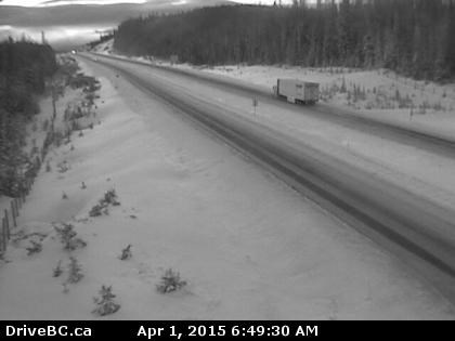
Image Credit: Drive B.C. webcam
April 01, 2015 - 8:30 AM
THOMPSON-OKANAGAN - After dropping upwards of 20 centimetres of snow on some highway passes Tuesday, the first day of April could also bring more rain, more snow and a chance of thunderstorms to the Interior.
Temperatures should hit the double-digit mark today, but will hover just below seasonal normals of 12 Celsius to 14 C, according to Environment Canada forecasts.
There is a chance of showers with a risk of a thunderstorm this afternoon throughout the region, ranging from a 30 per cent chance in Kamloops and Penticton to a 60 per cent chance in Vernon. The snow level currently sits at 700 metres in Vernon, 800 m in Kelowna and 900 m in Kamloops but will rise to 1,200 m throughout the region this afternoon.
The dangerous mix of rain and snow could also hit the higher elevations today, with a 40 to 60 per cent chance of flurries or showers this afternoon, along with a risk of thunderstorm, on Highway 3 from Hope to Princeton, the Coquihalla Highway, the Okanagan Connector and Highway 1 between Eagle Pass and Rogers Pass.
The Coquihalla passes have already recorded more than 9 cm of snow in the last 24 hours while 18 cm has fallen at the Pennask Summit. The snow level is expected to sit between 1,000 m and 1,200 m today. There is also a risk of flurries in the evening before it clears overnight.
The rest of the week will bring a mix of sun and cloud as we head into the Easter long weekend.
To contact a reporter for this story, email Jennifer Stahn at jstahn@infonews.ca or call 250-819-3723. To contact an editor, email mjones@infonews.ca or call 250-718-2724.
News from © iNFOnews, 2015