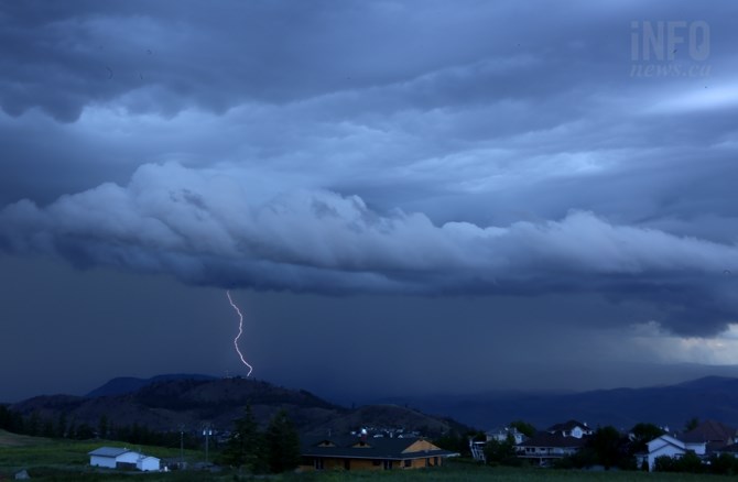
(FILE PHOTO / iNFOnews.ca)
Republished May 12, 2017 - 5:33 AM
Original Publication Date May 11, 2017 - 9:54 AM
UPDATE: 5:31 a.m. May 12: Environment Canada has also now ended the special weather statement for the Thompson, Nicola and Okanagan Valleys.
UPDATE: 5:44 p.m. May 11: Environment Canada has ended the severe thunderstorm watch.
KELOWNA - A severe thunderstorm is likely on its way to the Okanagan Valley, adding to the already high flood risk.
Environment Canada has issued a severe thunderstorm watch for the Okanagan Valley and nearby regions to the south and east starting this morning, May 11. The watch is in effect for the Central, North and South Okanagan, including Kelowna, Penticton and Vernon, along with the Boundary, Slocan Lake, Arrow Lakes and West Kootenay areas.
The watch warns the thunderstorm may bring strong winds, large hail and heavy rains. Between 15 and 25 mm of rain is likely over much of the region. Some areas may see more depending on the thunderstorm.
A statement from Environment Canada also warns that the thunderstorms combined with the snow melt “will lead to rising river levels and may increase the risk of flooding.”
Fast flowing water, creek and river banks could all be unsafe and washouts should not be approached.
To contact a reporter for this story, email Brendan Kergin or call 250-819-6089 or email the editor. You can also submit photos, videos or news tips to the newsroom and be entered to win a monthly prize draw.
We welcome your comments and opinions on our stories but play nice. We won't censor or delete comments unless they contain off-topic statements or links, unnecessary vulgarity, false facts, spam or obviously fake profiles. If you have any concerns about what you see in comments, email the editor in the link above.
News from © iNFOnews, 2017