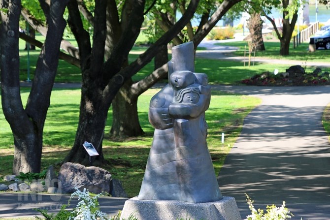
FILE PHOTO: Riverside Park is on the parks map and contains a heritage site, five works of public art (including the one pictured) and dozens of memorial benches.
(JENNIFER STAHN / iNFOnews.ca)
December 13, 2016 - 1:02 PM
KAMLOOPS - A series of interactive maps have been made to help residents and visitors see what Kamloops has to offer.
Four maps cover the city's heritage sites, parks, public art and memorial sites. The idea to map out different parts of the city's culture came from the city’s GIS manager Adam Chadwick. Over the summer and fall he built the maps and took photos.
“It really just hatched in my head,” he says. “At the moment this is sort of an inventory.”
The maps, hosted on the city’s site, have been live for a couple of months. Photos accompany each of the sites on the maps, with write ups for the city's heritage sites compiled by the city’s heritage commission and museum. Another maps shows where memorial benches are and the views they provide.
“It’s not complicated, it’s just a different way of presenting what we have,” he says.
The idea started with parks, Chadwick says, and he catalogued everything inside the city, with the hope it will encourage people to look around a bit and learn about their community. Heritage sites and public art were natural followups.
“We do parks mapping,” he says. “This I thought was a good way to bring it to life.”
The parks map lists 81 public spaces with one or two short sentences describing each. Over 100 heritage sites are mapped along with 188 memorial benches with addresses and photos of the spots.
There are 40 pieces of public art located, including paintings on buildings and public fountains. Chadwick says this was a little more difficult to define, since it’s supposed to be a comprehensive list, but people can debate about the definition of art. He kept it to works commissioned by the city or some sort of public art program.
“Lets try and celebrate and publicize what's out around us,” he says.
The memorial benches map offers a close up of the plaque on the bench and the view the bench provides.
In the future he hopes to build subsets of each of the subjects, in particular the heritage sites. People could then go on walking tours of specific sites, like early commercial buildings or sites from certain periods in time.
You can also view the maps on your smart phone.
To contact a reporter for this story, email Brendan Kergin or call 250-819-6089 or email the editor. You can also submit photos, videos or news tips to the newsroom and be entered to win a monthly prize draw.
We welcome your comments and opinions on our stories but play nice. We won't censor or delete comments unless they contain off-topic statements or links, unnecessary vulgarity, false facts, spam or obviously fake profiles. If you have any concerns about what you see in comments, email the editor in the link above.
News from © iNFOnews, 2016