With umbrella in hand Lizzie prepares for a rainy walk to and from school today.
(JENNIFER STAHN / iNFOnews.ca)
May 21, 2013 - 11:06 AM
UPDATE: 3:28 p.m. May 21, 2013
Environment Canada is saying thunderstorms passing through the region this afternoon and evening could become severe, producing large hail and damaging winds.
UPDATE: 2:13 p.m. May 21, 2013
Some parts of the Thompson-Okanagan could be receiving their monthly dosage of May rain in the next few days alone.
Doug Lundquist, meteorologist for Environment Canada, is forecasting substantial rainfall today through Saturday—he's just not sure exactly when or where it will fall.
"We're looking at a pinwheel of storms this week with the likeliest days being today, Wednesday and Saturday," Lundquist says, noting not all areas will be uniformly drenched. "We'll have to see where the bulls-eye lands."
As of Tuesday, Vernon, Kelowna, and Penticton all had severe thunderstorm watches in effect. Kamloops had the same plus a rainfall warning.
"The watch means there's potential for a storm," Lundquist says. "There's no guarantee. We're just saying, be aware of it and be prepared."
He cautions boaters to stay off the lake where gusty winds, torrential rainfall, and lightning pose great dangers.
So far, the Thompson-Okanagan has received only a sliver of its May rain. Lundquist says Kamloops has gotten 6 mm of its monthly 24 mm; Kelowna 3mm of its average 39 mm; and Vernon just 2 mm of its regular 47 mm. Penticton has been the odd one out with a storm last week that delivered 28 mm of the city's usual 37 mm.
"We really need this storm to pick things up," Lundquist says. "If we do get it, it's possible for (the regions) to climb right over their monthly averages in only a few days."
Kamloops has been especially dry this year, Lundquist says, the results of which have been illustrated by the city's numerous spring wildfires.
"There are two sides to the rain equation," Lundquist says, noting its ability to quench bone-dry forests while also causing flooding.
He says the driest area this month could be the Shuswap, which is typically the wettest.
High winds are also expected throughout the interior, today blowing over 40 km/hr in some regions.
To contact the reporter for this story, email Charlotte Helston at chelston@infotelnews.ca or call (250)309-5230.

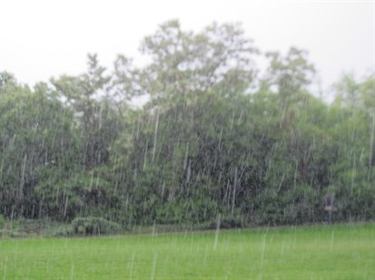
Heavy rain is being reported in Kamloops.
(JENNIFER STAHN / iNFOnews.ca)
UPDATE: 1:41 p.m. May 21, 2013
Severe thunderstorm watch continued for south Thompson including Kamloops.
Persons in or near this area should be on the lookout for adverse weather conditions and take necessary safety precautions. Watch for updated statements.
Contributed/Environment Canada
11:06 a.m. May 21, 2013
Get the umbrellas out: severe thunderstorms possible this afternoon and evening.
An upper low pressure system situated off the South Coast of British Columbia this morning is forecast to give significant rainfall amounts to sections of the interior. Moisture that is wrapping around this system will continue to affect the B.C. Peace region through much of today although the heavier rainfall is expected to occur over areas near the Rockies where the northeasterly upslope flow enhances precipitation intensity. Another 20 mm of rain is possible today over these upslope areas while townsites that are located further away may only receive 10 mm.
As the system continues to make its way southeastward, rainfall will intensify or spread to the central and southern interior today and to the Kootenays early this evening. General rainfall amounts of 25 to 35 mm can be expected for parts of the central and southern interior through this evening and for parts the Kootenays tonight through Wednesday.
This upper low pressure system will situate over the Washington and Oregon states by Wednesday morning and then remain quasi-stationary through much of this week. Moisture will continue to wrap around this feature and affect the southern interior and the Kootenays over the next few days. There is still uncertainty to the location of this wrap-around moisture but it is not out of the question that some of the affected regions may experience a prolonged rainfall event.
Meanwhile, conditions are favourable for the development of thunderstorms this afternoon over parts of the Kootenays and the Southern and Central Interior. The potential exists that some of these thunderstorms may become severe. These severe thunderstorms are capable of giving large hail and damaging wind gusts.
Contributed/Environment Canada
Environment Canada has a webpage dedicated to severe weather and information on what to do when dangerous weather approaches.
In Kamloops the average rainfall for May is 24.4 mm and 4.4 mm of rain has already been recorded at the airport this month. A record 10.1 mm of rain fell on this day in 1997.
To contact a reporter for this story, email jstahn@infotelnews.ca or call (250) 819-3723.
News from © iNFOnews, 2013