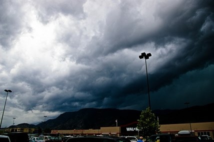
A severe thunderstorm warning has been expanded to cover the whole Okanagan Valley.
Image Credit: Flickr/Kurt Bauschardt
August 11, 2013 - 12:06 PM
UPDATE 6:37 a.m. August 12: After a severe thunderstorm last night, Environment Canada has no further weather warnings.
The initial severe thunderstorm watch issued by Environment Canada this morning covered only the South Okanagan and Similkameen. But as of 10 a.m., the watch was been expanded to cover the entire Okanagan.
A system of thunderstorms building in the Pacific Northwest today is heading for the Okanagan.
An upper level low off the Oregon coast is going to push a series of storms into the Southern Interior this afternoon. The storms could be packing a punch – with heavy downpours, large hail and strong wind gusts.
We are definitely keeping an eye on the storm cells Environment Canada forecaster Elizabeth Robilliard says.
A severe thunderstorm watch means the potential exists for the development of severe weather. It doesn’t mean the severe weather is a sure thing.
Robilliard expects the first of the thunderstorms to hit the South Okanagan around 4 p.m. Sunday. As the weather system moves northward the storms will be in the Central Okanagan by about 5 p.m. The North Okanagan will get a taste of the thunder and lightning about an hour later.
“When we see evidence based on radar and satellite, or we get a report from a weather watcher, we’ll upgrade to a severe thunderstorm warning,” Robilliard says.
To contact the reporter for this story, email halexander@infotelnews.ca or call 250-491-0331.
News from © iNFOnews, 2013