(BRENDAN KERGIN / iNFOnews.ca)
June 30, 2022 - 7:00 PM
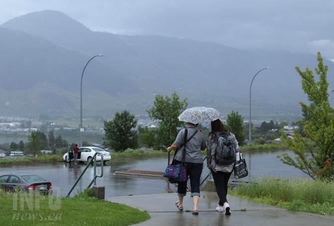
For all those weather watchers who felt June was unusually damp this year, they are mostly right.
But no records were broken and, in fact, Kamloops was drier than normal.
The bad news is it’s not likely to dry up much over the next few weeks.
Vernon was the wettest of the larger cities in the region with 90.9 millimetres of rain, according to Environment Canada.
All the figures cited here are as of June 29 so the amounts could increase with some scattered showers and thundershowers still possible.
READ MORE: Don’t expect RCMP to respond to 'hot dog’ reports this summer
That rainfall in Vernon was only the 10th wettest June on record. Those records go back to 1900. A normal June in Vernon has 59.1 mm.
Coming in second this year was Kelowna with 72.5 mm. of rain. That was the sixth wettest month on file, according to Environment Canada meteorologist Matt Loney, who noted Kelowna’s weather records are relatively new, only going back to 1996.
A normal June for Kelowna sees 25.9 mm of rain. The record was set in 2012 at 106 mm.
Even Penticton was damp with 53.8 mm but that’s not far off the historical normal rainfall for that city of 46.3 mm, with records going back to 1908.
Kamloops, by comparison, was drier than normal with only 28 mm of rain. Its records go back to 1893. Over that time period, the average June rainfall is 37.4 mm.
There is some short-term good news for the July 1 long weekend as there will be a break from the “roller coaster” of sun and rain the region has been on for weeks.
“We’re coming out of these troughs and getting into a bit of ridging,” Loney said. “We still have remnants of an unstable air mass over the region with a chance of a few isolated showers.”
That’s expected to continue through Friday but Saturday and Sunday are showing sunny skies with highs of 30 Celsius in the Okanagan and 32 C on Sunday in Kamloops.
But, that’s as far as the good news goes.
A low pressure system is expected to move into the region on Monday, dropping temperatures to the low to mid 20s along with a goodly amount of rain.
READ MORE: Thompson Rivers high waters could remain well into July
“Some of the computer models are hinting at a fairly significant precipitation event over southern B.C. on Monday and Tuesday so that’s something we’re monitoring right now,” Loney said.
A four-week forecast model shows much of the same roller coaster ride for the first three weeks of July, he said.
“In the fourth week, it has a semblance of a more typical summer pattern,” Loney said. “That’s somewhat drier with temperatures edging up to normal or a bit above normal.”
He cautioned, don’t be too optimistic about such a long-range forecast.
“We’ve seen that before and it hasn’t quite panned out,” Loney said. “I’m not sure if the model is looking for normalcy in the long term and it’s trending towards climatology or that it’s something for real that you can hang your hat on. It’s just simply too far out at this point.”
To contact a reporter for this story, email Rob Munro or call 250-808-0143 or email the editor. You can also submit photos, videos or news tips to the newsroom and be entered to win a monthly prize draw.
We welcome your comments and opinions on our stories but play nice. We won't censor or delete comments unless they contain off-topic statements or links, unnecessary vulgarity, false facts, spam or obviously fake profiles. If you have any concerns about what you see in comments, email the editor in the link above.
News from © iNFOnews, 2022