(STEVE ARSTAD / iNFOnews.ca)
July 29, 2021 - 1:00 PM
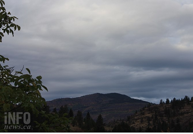
All those folks who have been putting off their outdoor exercise because of dense smoke throughout the Okanagan and Thompson regions can look forward to heading out on Sunday.
That’s because moist air is expected to move into the region Sunday night bringing the possibility of rain and thunderstorms.
“Saturday looks to be a continuation of what we see right now,” Environment Canada meteorologist Gregg Walters told iNFOnews.ca. “Sunday morning will be fairly smoky. Sunday night into Monday will see the smoke at least dissipating somewhat and, if we get enough rain, that will tend to wash it out quite a bit.”
It’s too early to predict how heavy any precipitation will be when the moist air moves into the region Sunday night.
But, any improvement won’t last long in terms of smoke, heat and the forest fire situation.
“It (smoke) will come back,” Walters said. “Those forest fires are pretty widespread. Getting a little bit of rain like this is good, but it is going to warm up afterwards and you’re probably looking at relatively dry conditions for, at least, a lot of the first part of August.”
The fires and, therefore, the smoke, will likely last well into September, he said.
Environment Canada has issued a “special weather statement” warning about the extreme heat with highs forecast at 36 C in the Okanagan through Saturday and a peak temperature of 39C in Kamloops on Saturday.
Those highs will drop to the low 30s in Kamloops Sunday and may even get down to as low as 29 C on Wednesday.
For the Okanagan, highs will drop into the high 20s Sunday and continue mostly at that level through at least to Wednesday.
This is normally the hottest time of the year for these regions, Walters said, with the average daily high for today, July 29, of 28 so, temperatures in the low 30s are not unusual.
As the nights get longer in August people will notice there are cooler mornings and the daytime highs will likely moderate.
As for the forest fire situation this weekend, there is good news and bad news.
“It (rain) might help a bit,” Walters said. “It doesn’t look like it’s going to be really dry lightning. It looks like there’s moisture coming up with it.”
But thunderstorms also bring winds with them, which affect fire activity. And there’s not enough rain coming to dampen things down very much.
“It’s certainly not going to put out some of these fires,” Walters said. “It’s not going to be as long a duration of a rain event to do that. It will help and it will help clear out the air, at least for a short while. It won’t clear it out completely but it will eliminate the real heavy smoke that we’re seeing right now.”
To contact a reporter for this story, email Rob Munro or call 250-808-0143 or email the editor. You can also submit photos, videos or news tips to the newsroom and be entered to win a monthly prize draw.
We welcome your comments and opinions on our stories but play nice. We won't censor or delete comments unless they contain off-topic statements or links, unnecessary vulgarity, false facts, spam or obviously fake profiles. If you have any concerns about what you see in comments, email the editor in the link above.
News from © iNFOnews, 2021