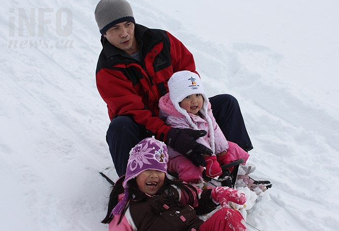
FILE: Penticton resident Van Lee sledding with his daughters, Melisssa, (front) and Krystal, at Lions Park on Warren Avenue.
(STEVE ARSTAD / iNFOnews.ca)
January 12, 2020 - 7:52 AM
Wintry weather is expected to ramp up Sunday, Jan. 12, with a mix of freezing temperatures and intense snowfall.
Environment Canada is reporting that a low-pressure system will move across southern B.C. today spreading snow to mountain passes and the valley bottom. At the same time, the arctic front will arrive with strong gusty winds and dropping temperatures this afternoon.
"These two systems will combine to give a brief period of intense heavy snow and blowing snow," reads the alert.
Near Boston Bar, West Kelowna and Peachland, and Hope, 10 centimetres of snow is expected to fall within several hours this afternoon.
The South Thompson is also going to get heavy snowfall.
Over Coquihalla Highway from Hope to Merritt, 15 cm of snow is expected to fall in several hours. The Connector will also get heavy snow.
Visibility may be suddenly reduced at times in heavy snow.
To contact a reporter for this story, email Kathy Michaels or call 250-718-0428 or email the editor. You can also submit photos, videos or news tips to the newsroom and be entered to win a monthly prize draw.
We welcome your comments and opinions on our stories but play nice. We won't censor or delete comments unless they contain off-topic statements or links, unnecessary vulgarity, false facts, spam or obviously fake profiles. If you have any concerns about what you see in comments, email the editor in the link above.
News from © iNFOnews, 2020