Image Credit: ADOBE STOCK
April 26, 2018 - 11:33 AM
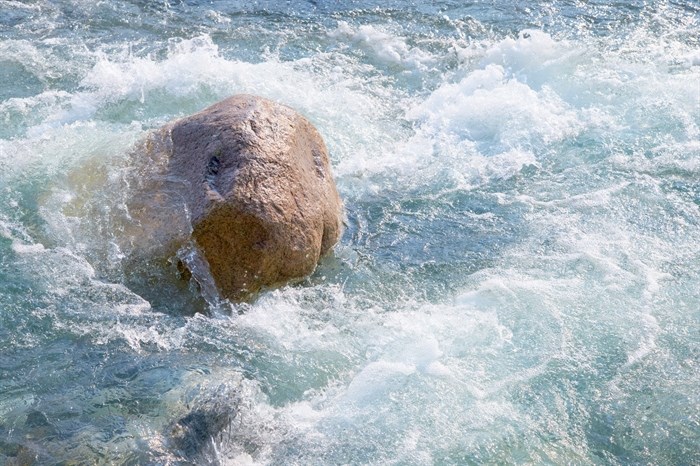
While most of us will bask in the sunny, warm weather forecast this week in Southern Interior, those near rivers and streams will be keeping a close eye on the rising waters.
The B.C. River Forecast Centre has issued a high streamflow advisory for most of the southern part of the province including the Southern Interior.
A high streamflow advisory means river and stream levels are rising, or expected to rise quickly, but no major flooding is expected. There could be minor flooding in low-lying areas.
Forecasters say a ridge of high pressure is building across B.C. for the first prolonged stretch of warm weather this spring. The mercury is predicted to rise into the low to high 20 Celsius range.
The River Forecast Centre says the snowpack, which is well above normal for this time of year, was still building up until recently. That snowpack has now started to melt and the melt is expected to accelerate over the next few days.
The worry is an upper low system forecast in the near future will mean rain. The combination of rain and melting snowpack could equal flooding.
“While it is still too early in the snow melt season for significant flows in the larger river systems of the province, smaller streams and tributaries that are fed by low-to-mid elevation terrain are at the greatest risk of high flows over the next several days,” officials say.
Areas covered by the high streamflow advisory include:
-
Okanagan - including tributaries in the Oliver, Osoyoos, Summerland, Penticton, Kelowna, Vernon and surrounding areas
-
Similkameen - including the Tulameen and tributaries
-
Boundary - including the West Kettle River, Kettle River, Granby River and surrounding tributaries
-
Central Interior – including the Bonaparte River, Salmon River (around Falkland), West Road River, Baker Creek, and tributary flows around Merritt, Cache Creek, Quesnel, Williams Lake and surrounding areas (some of these areas have experienced extensive forest fires in 2017 which may exacerbate high flows)
-
Kootenay - including the Moyie River and mid-elevation tributaries in the Castlegar, Trail, Salmo, Creston, Cranbrook and surrounding areas
The River Forecast Centre says there have been high flows already this spring in some of those areas and runoff is expected to increase.
“Snowpacks are extreme in many of these regions, with increased flood risk due to the significant amounts of water that are available for runoff,” the advisory states.
The River Forecast Centre is monitoring the situation and will update the advisory if necessary.
To contact a reporter for this story, email Howard Alexander or call 250-309-5343 or email the editor. You can also submit photos, videos or news tips to the newsroom and be entered to win a monthly prize draw.
We welcome your comments and opinions on our stories but play nice. We won't censor or delete comments unless they contain off-topic statements or links, unnecessary vulgarity, false facts, spam or obviously fake profiles. If you have any concerns about what you see in comments, email the editor in the link above.
News from © iNFOnews, 2018