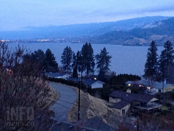
It is expected to be a grey and dreary weekend in the Okanagan.
(STEVE ARSTAD / iNFOnews.ca)
December 04, 2015 - 8:31 AM
OKANAGAN - While high winds, heavy rain and record temperatures are battering coastal cities, the Okanagan can expect temperatures just above normal and rain during at least part of this weekend.
Environment Canada is calling for temperatures to hit between 3 Celsius and 6 C this weekend before climbing to a high of 8 C to start the new week. Overnight lows are expected to drop to -11 C in the North Okanagan tonight but will stay in the 3 C range in the South Okanagan. Saturday night is expected to drop to just 3 C throughout the region while Sunday a low of just 4 C is expected.
Along with the unseasonally warm temperatures, the normal temperature high at this time of year is just 1 C while the overnight low is typically -4 C, we can expect mostly cloud cover this weekend, along with a chance of rain today, Dec. 4, followed by showers on Saturday and a chance of rain on Sunday. The week is expected to kick off with rain on Monday as well.
The snow level will be at about 700 metres in the Vernon area and 600 m near Kelowna today.
If you are heading west this weekend expect heavy rain and strong winds, the weather office currently has special weather statements and warnings in place for much of the Lower Mainland and Vancouver Island.
Area highway passes are also expected to experience at least a chance of snow this weekend. With up to 4 centimetres expected on Highway 1 from Eagle Pass to Rogers Pass by tomorrow morning and up to 8 cm on Highway 5 at the Coquihalla Summit. A chance of flurries is expected at Pennask Summit on Highway 97C, Allison Pass on Highway 3 and on the Coquihalla Highway from Merritt to Kamloops.
The recent snowfall combined with strong winds and warm temperatures has Avalanche Canada forecasting avalanche ratings to rise to high at the alpine and below treeline levels in the North and South Columbia ranges this weekend. Glaciers National Park and the above treeline and alpine levels of Kootenay Boundary are expected to remain a considerable risk.
To contact a reporter for this story, email Jennifer Stahn at jstahn@infonews.ca or call 250-819-3723. To contact an editor, email mjones@infonews.ca or call 250-718-2724.
News from © iNFOnews, 2015