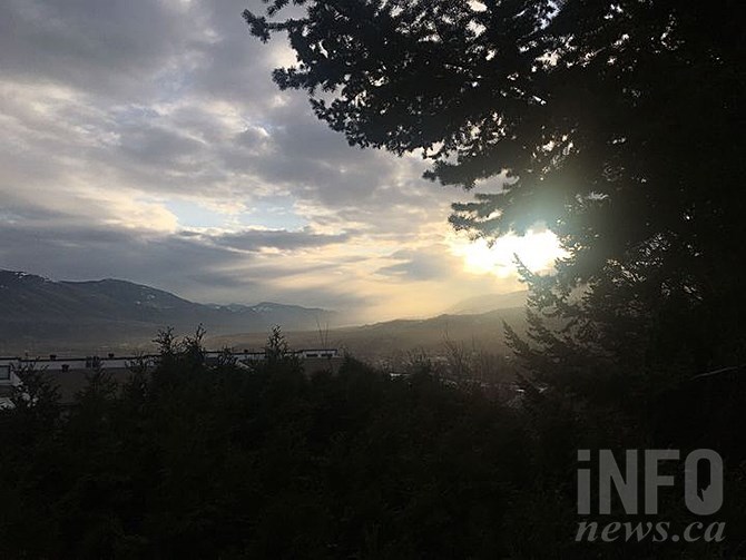
Another storm is coming for the Coquihalla before returning to sunshine and warmth for the weekend, according to Environment Canada.
(JENNA WHEELER / iNFOnews.ca)
March 22, 2021 - 11:39 AM
A weather system hitting the Thompson and Okanagan regions starting Tuesday night will make driving in mountain passes tricky but should make for good skiing Wednesday.
Two to five centimetres of snow are expected in the mountain passes to the west on Tuesday night and through the day Wednesday, Lisa Erven, a meteorologist with Environment and Climate Change Canada, told iNFOnews.ca today, March 22.
As much as eight centimetres could fall on highways further to the east, such as Rogers Pass.
“That’s what the models indicate as of right now,” Erven said. “Our official highways forecasts only goes out for today, tonight and Tuesday so travellers should keep an eye out for updated forecasts as we get into that Tuesday afternoon time period.”
The freezing level will fluctuate between 1,100 and 1,500 metres so there should be some good skiing at places like Big White and Silver Star mountains where as much as 15 cm might fall although, as the warm weather moves in Wednesday afternoon, it might be a bit rainy on the hills.
There’s a 60 per cent chance of some precipitation hitting valley bottoms as the system moves through.
“When we have these big weather systems coming over the Coast Mountains, sometimes they’re accompanied by quite strong winds and so that can lead to what we call a subsidence – a bit of rain shadow to the lee of the Coast Mountains – so your chances of precipitation are a little bit less in and around the Okanagan and South Thompson,” Erven said. “The further east you go, and up into the mountains, the more likely you are to see steady precipitation, beginning late overnight Tuesday and throughout the day Wednesday.”
That could continue through into Thursday morning in the eastern mountains.
While daily temperatures will be “bang on normal for this time of year” early in the week, they will climb into higher than normal temperatures by the weekend, hitting 14C in the Okanagan and up to 16C in Kamloops, Erven said.
While unseasonably warm they will be far from record setting. That would take temperatures of more than 20C.
“The trend is towards a very nice end to the week,” she said.
To contact a reporter for this story, email Rob Munro or call 250-808-0143 or email the editor. You can also submit photos, videos or news tips to the newsroom and be entered to win a monthly prize draw.
We welcome your comments and opinions on our stories but play nice. We won't censor or delete comments unless they contain off-topic statements or links, unnecessary vulgarity, false facts, spam or obviously fake profiles. If you have any concerns about what you see in comments, email the editor in the link above.
News from © iNFOnews, 2021