(JENNIFER STAHN / iNFOnews.ca)
September 01, 2022 - 4:00 PM
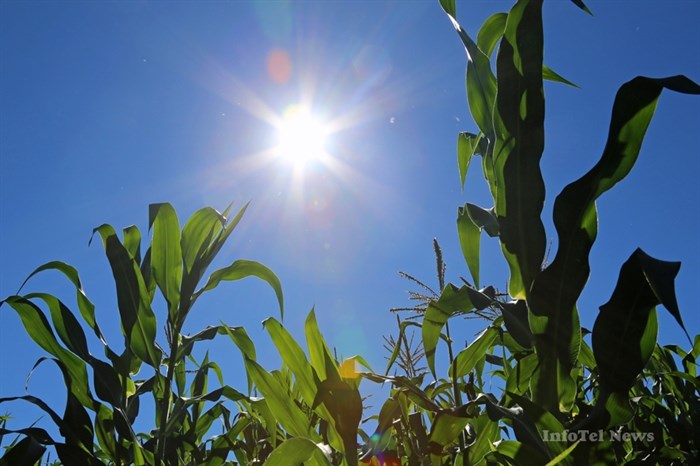
Heat records fell throughout the Okanagan in August, making it the hottest ever for the region.
For Kamloops, it was the second warmest.
Kelowna topped the list, hitting a mean temperature of 23.6 Celsius for the month, breaking the record set in 2017 of 22.2 C.
Close behind was Vernon at 23.2 C, breaking the 1999 record of 22.2 C. Penticton recorded a mean temperature of 22.9 C, breaking the 1971 record of 22.5 C.
Kamloops was actually warmer. It recorded a mean temperature for the month of 23.9 C. That fell short of the 24.4 recorded in 1898. It’s the only one of the four cities that have temperature records dating back before 1900, Environment Canada meteorologist Doug Lundquist told iNFOnews.ca.
Environment Canada records historical mean temperatures for 23 stations in B.C., of which 15 recorded their hottest Augusts ever.
Normally July is the hottest month of the summer so only Fort St. John and Abbotsford recorded their hottest months ever.
“These are all heat domes,” Lundquist said. “We probably had five or six heat domes this year and they were just ongoing.”
The term “heat dome” caught on last June when temperatures throughout the region broke all-time records.
READ MORE: One more day of the heat wave pushes Okanagan and Canadian records even higher
“They used to be called ‘skull crushing ridges’ in the office,” Lundquist said. “They are just very strong ridges of high pressure that started in mid-July and are still ongoing.”
Temperatures in the Okanagan are expected to hit between 34 C and 37 C over the next two days. Because of a bit of cloud, Kamloops will not be quite as warm.
Still, since it’s September, record high temperatures for the month could be set.
There may also be thunderstorms on the weekend.
Then things change dramatically with temperatures falling to the low 20s by Wednesday, which is more typical for this time of year.
That pattern will continue for the next couple of weeks with a high pressure ridge possibly forming towards the end of the month. Even if it does, it’s not likely to push temperatures beyond 30 C, Lundquist said.
To contact a reporter for this story, email Rob Munro or call 250-808-0143 or email the editor. You can also submit photos, videos or news tips to the newsroom and be entered to win a monthly prize draw.
We welcome your comments and opinions on our stories but play nice. We won't censor or delete comments unless they contain off-topic statements or links, unnecessary vulgarity, false facts, spam or obviously fake profiles. If you have any concerns about what you see in comments, email the editor in the link above.
News from © iNFOnews, 2022