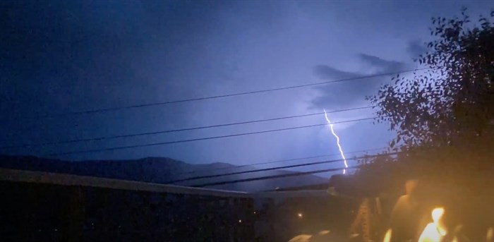
Lesia Payne took a picture of the lightning storm from her home in the North Okanagan.
Image Credit: SUBMITTED/Lesia Payne
May 31, 2020 - 10:09 AM
A thunderstorm rolled through the valley last night creating a light show that, while good for photos, was relatively unimpressive when compared to what was happening in streams, rivers and lakes below.
In the last 24 hours, Environment Canada data indicates that Okanagan Lake reached full pool, which is 342.48 metres and rivers are bursting with new life, also.
"River levels have been high due to snowmelt, and in watersheds, with snow remaining warm temperatures the past few days has accelerated snowmelt rates," according to the latest from the forecast centre.
"Yesterday, active convection brought intense rainfall across parts of the region, with the most intense cells of precipitation falling in areas in the headwaters of the Similkameen River including the Ashnola and through Manning Park, Nicola River and areas around Merritt, and areas in the North Thompson River watershed."
Lower amounts of precipitation were observed in the Okanagan Valley and Shuswap and South Thompson watersheds. Rainfall amounts were generally in the five-25 millimetre range, with areas of most intense rain reaching upwards of 30-40 mm.
Additional rainfall is expected today, however, the most intense forecast rainfall patterns are forecasted to occur further east of the Central Region. Additional rainfall amounts for the remainder of Sunday are forecast to be in the five-20 mm range.
The public is advised to stay clear of the fast-flowing rivers and potentially unstable riverbanks during the high-streamflow period. Mission Creek, in Kelowna, reached its fastest flow this spring. It's now coursing through at it’s 67 cubic metres per second, which is an increase from 55 cubic metres per second from early Saturday. Concern that it will overflow it banks usually happens when it's around 80 cubic metres per second.
The River Forecast Centre continues to monitor the situation and provides updates as conditions warrant.
The River Forecast centre also raised its alert system for a number of tributaries.
The River Forecast Centre is upgrading or maintaining a Flood Watch for:
-
Similkameen and tributaries including the Ashnola River (UPGRADED)
-
Nicola River including Upper Nicola River above Nicola Lake and downstream through Spences Bridge (UPGRADED)
-
Okanagan including tributaries around Vernon, Lumby, Winfield, Kelowna, Penticton, Osoyoos including Mission Creek and Mill Creek and surrounding areas
-
Salmon River near Salmon Arm
-
Bonaparte River
The River Forecast Centre is maintaining a High Streamflow Advisory for:
-
North Thompson River including mainstem and Clearwater River and smaller tributaries
-
South Thompson River including Shuswap River and tributaries
To contact a reporter for this story, email Kathy Michaels or call 250-718-0428 or email the editor. You can also submit photos, videos or news tips to the newsroom and be entered to win a monthly prize draw.
We welcome your comments and opinions on our stories but play nice. We won't censor or delete comments unless they contain off-topic statements or links, unnecessary vulgarity, false facts, spam or obviously fake profiles. If you have any concerns about what you see in comments, email the editor in the link above.
News from © iNFOnews, 2020