Image Credit: FILE PHOTO
December 30, 2019 - 11:32 AM
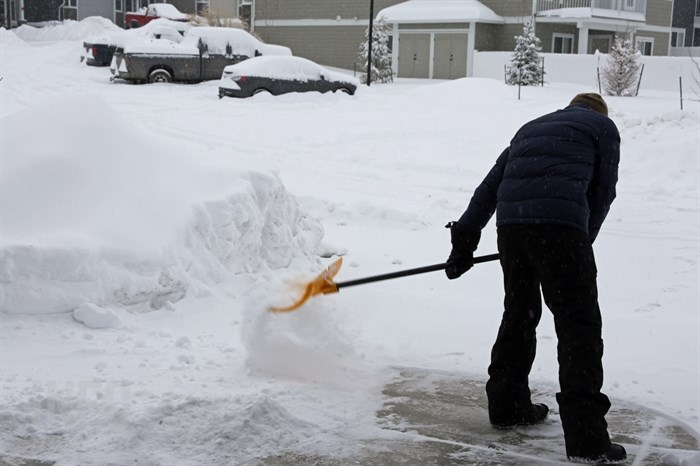
The year 2019 appears to be poised to end on a soggy note in the Okanagan as a low pressure system is set to bring potentially heavy snow to parts of the valley, starting tonight.
A snowfall warning is in effect for the Central Okanagan, including Kelowna, the North Okanagan, including Vernon, the Shuswap, including Salmon Arm, along with the South and North Thompson regions, including Kamloops, with between 20 and 30 centimetres predicted. The snow is expected to start tonight.
The South Okanagan is not included in the snowfall warning.
Environment Canada meteorologist Armel Castellan says a second active system is expected to pass over the region on Thursday, which could bring rising freezing levels along with a snow and rain mix to the area.
"It's the type of weather conditions where it's a good idea to check the forecast frequently," Castellan says.
Other parts of the country are facing a wintery end to the year as well. The Weather Network reported extended periods of freezing rain overnight Sunday led to significant ice accretion, or ice buildup, across parts of central and eastern Ontario, resulting in power outages affecting more than 18,000 Hydro One customers in that province. Residents in affected areas of Ontario are being urged to stay off the roads if possible today.
Today in the Okanagan, it should be cloudy with a 30 per cent chance of flurries this morning and a risk of freezing drizzle in Kelowna and Vernon.
It’s expected to be mainly cloudy in Penticton with 30 km/h south winds this afternoon and a high of 1 C expected.
Penticton could see two to four cm of snow tonight with an additional two to four cm expected tomorrow.
Temperature should remain steady near 0 Celsius with snow beginning tonight.
Up to 10 cm is expected overnight in Kelowna and Vernon with temperatures remaining steady near 0 C.
Tuesday should see more snow, at times heavy, with an additional 10 cm expected through the day. The precipitation could take the form of rain or snow overnight, with temperatures remaining steady at 0 C.
Wednesday, New Year’s Day, should see cloudy skies with a high to 5 C. Cloudy skies overnight could bring a 60 per cent chance of showers or flurries along with a low of -1 C.
A mix of sun and cloud is forecast for Thursday with a high of 1 C. Periods of snow are expected overnight with a low reaching -5 C.
Friday, more snow is expected with a high of 0 C. There is a 60 per cent chance of flurries overnight with a low of -2 C expected.
The weekend looks like the clouds will linger, along with a 60 per cent chance of flurries on Saturday, dropping to 30 per cent on Sunday, with highs of 2 C both days.
Normal temperatures at this time of year in the Okanagan are highs of -2 C and lows of -8 C.
— This story was updated at 12:57 p.m. Monday, Dec. 30, 2019, to say Environment Canada has added the South Thompson, including Kamloops, to the snowfall warning.
To contact a reporter for this story, email Steve Arstad or call 250-488-3065 or email the editor. You can also submit photos, videos or news tips to tips@infonews.ca and be entered to win a monthly prize draw.
We welcome your comments and opinions on our stories but play nice. We won't censor or delete comments unless they contain off-topic statements or links, unnecessary vulgarity, false facts, spam or obviously fake profiles. If you have any concerns about what you see in comments, email the editor in the link above.
News from © iNFOnews, 2019