Image Credit: Shutterstock
February 11, 2019 - 10:24 AM
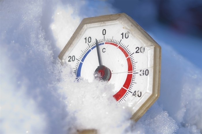
KAMLOOPS - There’s a bit of snow and more cold weather in the Kamloops forecast this week before daytime highs begin moving towards the freezing mark at the end of the week.
Environment Canada says today, Feb. 11, will see a mix of sun and cloud, a high of -10 Celsius with a wind chill of -15 C range. Up to two centimetres of snow is expected overnight with a low of -14 C and a wind chill near -21 C.
A 60 per cent chance of flurries tomorrow morning will give way to a mix of sun and cloud, a high of -8 C, and a wind chill of -20 C in the morning and -12 C in the afternoon. Overnight expect a low of -11 C with cloudy periods.
The forecast calls for a mix of sun and cloud on Wednesday with a high of -5 C. The mercury is expected to fall to -8 C overnight wth a 40 per cent chance of flurries.
The chance of more snow increases to 70 per cent on Thursday under cloudy skies. Temperatures are expected to moderate somewhat with a high of -3 C and an overnight low of -5 C.
The cloudy skies continue Friday with a high of -2 C.
Normal temperatures this time of year in Kamloops are highs of 3 C and lows of -4 C.
To contact a reporter for this story, email Steve Arstad or call 250-488-3065 or email the editor. You can also submit photos, videos or news tips to the newsroom and be entered to win a monthly prize draw.
We welcome your comments and opinions on our stories but play nice. We won't censor or delete comments unless they contain off-topic statements or links, unnecessary vulgarity, false facts, spam or obviously fake profiles. If you have any concerns about what you see in comments, email the editor in the link above.
News from © iNFOnews, 2019