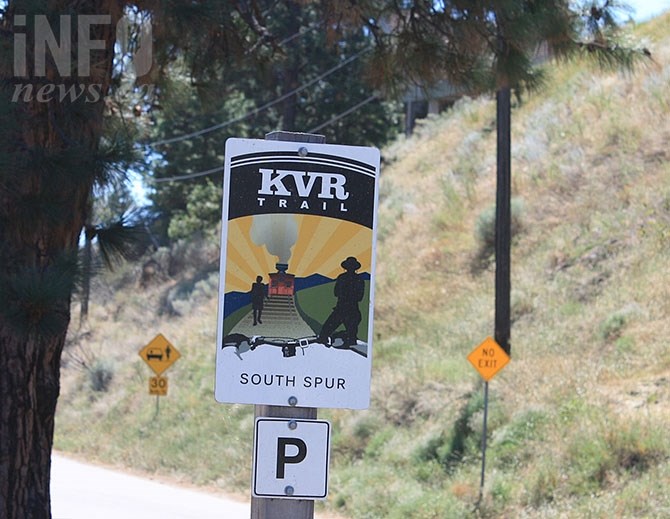
Regional district directors continued to argue against an eastern shoreline routing for the trail around Vaseux Lake in spite of a recently concluded environmental study in favour of such a routing.
(STEVE ARSTAD / iNFOnews.ca)
January 17, 2019 - 3:24 PM
PENTICTON - An environmental study of the Kettle Valley Rail Trail between Penticton and the head of Osoyoos Lake favours the east side of Vaseux Lake over the former rail trail right of way along the lake’s western shore.
The conclusion of the study doesn’t sit well with several of the Regional District of Okanagan Similkameen’s board of directors who listened to a delegation present the findings at today’s regular board meeting, Jan. 17.
The directors are at odds with the eastern shoreline route around Vaseux Lake. The roughly five kilometre stretch of trail has been under continuous debate for several years, with environmental groups concerned about possible environmental damage and disruption of 32 species at risk in the area of the trail.
Recreational Sites and Trails B.C., Ministry of Forests Trails manager Tennessee Trent told the board a regional district application to establish the Vaseux Lake trail section was disallowed in 2004 because of environmental concerns and inadequate consultation with First Nations.

Map showing location of the KVR trail around Skaha Lake and the east shoreline of Vaseux Lake as suggested following an environmental study on the trail's location.
(STEVE ARSTAD / iNFOnews.ca)
Local property owners and stakeholders in the area are also opposed to a west side trail route include the Ministry of Forests, the Canadian Wildlife Service, The Nature Trust and Ducks Unlimited.
Trent said the regional district has been trying to acquire the piece of trail since 2007 without success as government and environmental organization express concerns.
The west shoreline of Vaseux Lake contains mostly undisturbed valley bottom, rare property in the South Okanagan, he noted.
But it was also along the western shoreline the railway originally followed, leaving a 100-foot wide recreational corridor that directors feel would be a far better choice for the trail location than along the east side of the lake, which is impeded by Highway 97 and a series of steep rock bluffs adjacent the highway right of way.
Area “D” director Ron Obirek pointed out the 100-foot right of way on Vaseux Lake’s western shore exists and is open to use by the public, adding the land had been acquired for this very purpose. Area “G” director Tim Roberts called it “a pre-eisting trail people will use whether or not it’s developed.”
Chief administrative officer Bill Newell asked if was realistic to expect local stakeholders’ support for a west shore route.
Trent replied there would be lots of opposition, and it would be unlikely the province would support a license that was being challenged by the federal wildlife service.
He agreed the environmental study’s conclusion, while offering the least chance of damage to the environment, was "not optimal" for the regional district. He suggested it might still be possible to develop the trail along the west shore, but warned mitigation options for the west side would be expensive.
Trent said some sections of the trail may have to be elevated, water crossings may require expensive infrastructure, and attention would have to be paid to eliminate "habitat islands."
The next phase of the study will look at trail options in smaller sections of the route, exploring in more detail how the west side of Vaseux Lake might be made to work.
Environmental issues around Vaseux Lake aren’t the only problem areas on the southern spur route. Trent noted the section of right of way north of Banbury Green in Kaleden was being contested by the Penticton Indian Band and was not under the province’s jurisdiction, while Osoyoos director Sue McKortoff told the board there remained a gap in the trail between the head of Osoyoos Lake and the Town of Osoyoos itself that needed work as well.
To contact a reporter for this story, email Steve Arstad or call 250-488-3065 or email the editor. You can also submit photos, videos or news tips to the newsroom and be entered to win a monthly prize draw.
We welcome your comments and opinions on our stories but play nice. We won't censor or delete comments unless they contain off-topic statements or links, unnecessary vulgarity, false facts, spam or obviously fake profiles. If you have any concerns about what you see in comments, email the editor in the link above.
News from © iNFOnews, 2019