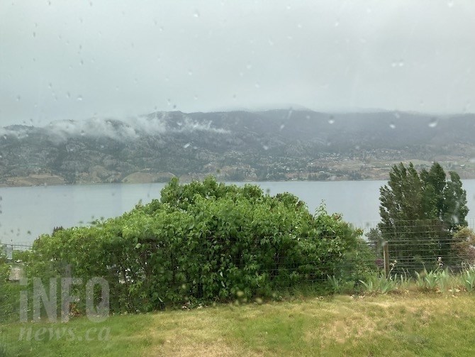
It was one of the soggiest mornings in some time in the South Okanagan, Monday, June 7, 2021, but the rain won't be enough to make up for what has been lacking for more than three months.
(STEVE ARSTAD / iNFOnews.ca)
June 08, 2021 - 7:00 AM
As we move through the month of June, the threat of an active wildfire season in the Thompson-Okanagan is not easing despite a some rain and cooler temperatures.
The B.C.Wildfire Service released a seasonal outlook today, June 7, predicting an above average fire season in the southern half of the province this year, should present weather trends continue.
The report notes a significantly drier than normal May added to the dry months of March and April to produce the lowest spring precipitation ever for Kelowna and Vernon, with many regions receiving less than 40 per cent of their normal spring rainfall.
Penticton recorded its fifth driest spring, while south of the border, Spokane had its driest spring in 140 years.
With the amount of June precipitation typically determining the severity of the fire season, B.C. Wildfire suggests if current trends continue "we can expect both the frequency and size of fires to increase as grass and other fine fuels start to dry out."
Environment Canada meteorologist Doug Lundquist says the reasons behind the dry spring aren’t entirely clear, and they could be many and varied in nature.
“It could be due to warmer sea surface temperature off the coast, climate change, it could even be the natural variability in weather. I don’t believe it can be tied to this winter’s La Niña conditions, and the lack of cold we had. I’m not sure we can pin it on one thing, and it’s been wet in places. It’s so wet in the northwest right now, we’re worried about flooding on the Skeena River. Even parts of the Cariboo and Chilcotin have been wet,” Lundquist says.
Rain did fall in the southern half of the Okanagan valley today, June 7, dumping 2.3 mm on Penticton, while Osoyoos received 12 mm. Little of that moisture reached as far north as Kelowna and Vernon, but Kamloops did record a couple of millimetres.
“The cooler days and showers are a help, but they aren’t enough, so far. We’re halfway through June at the end of this week’s forecast period, and there’s not much in it in terms of precipitation,” Lundquist says.
He says this week’s forecast does have the potential to bring severe weather, including possible thunderstorms to the region, although temperatures are expected to remain at seasonal or slightly below seasonal values.
Beyond that Lundquist says longer term modelling suggests the return of a strong high pressure ridge next week, that could bring highs in the upper 30s back to Kamloops and the Okanagan.
To contact a reporter for this story, email Steve Arstad or call 250-488-3065 or email the editor. You can also submit photos, videos or news tips to tips@infonews.ca and be entered to win a monthly prize draw.
We welcome your comments and opinions on our stories but play nice. We won't censor or delete comments unless they contain off-topic statements or links, unnecessary vulgarity, false facts, spam or obviously fake profiles. If you have any concerns about what you see in comments, email the editor in the link above.
News from © iNFOnews, 2021