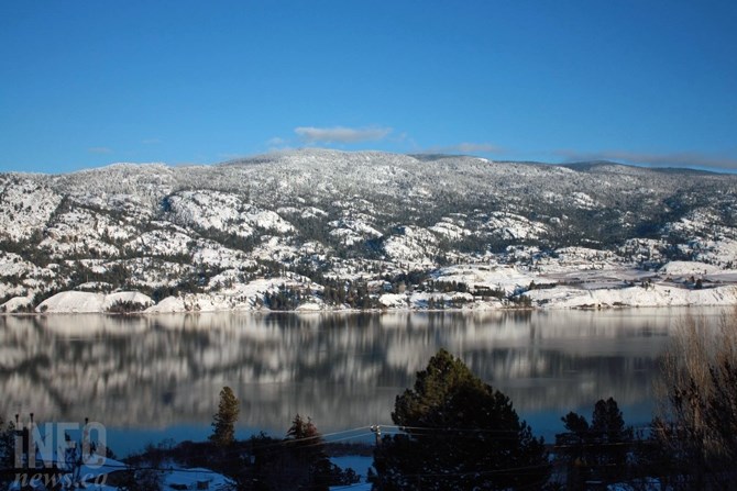
FILE PHOTO - Mount Christie near Skaha Lake south of Penticton is seen in this December 2015 file photo.
(STEVE ARSTAD / iNFOnews.ca)
February 24, 2022 - 1:00 PM
While there is concern that high snowpack levels in much of B.C. could lead to spring flooding, the Okanagan shows a dramatically different trend.
The latest snowpack readings show the Okanagan was at 80% of normal as of Feb. 22, and has been below normal since early November.
“The mountain snowpack accumulation season extends for another two to three months, but early normal to above normal snowpack conditions indicate an increased risk for snowmelt-related flooding during spring 2022 for much of the province,” states a Government of B.C. snow condition summary dated, Feb. 15.
It says that precipitation levels have been high in the northern part of the province but low in the south.
READ MORE: Low snowpack makes easy decisions for the man who controls Okanagan lake level
The data shows the South Thompson snowpack at 97% of normal and the Similkameen at 98%.
Within the Okanagan, the lowest snow station reading is 53% at Oyama Lake. Mission Creek, the largest source of water running into Okanagan Lake was at 73%.
The highest Okanagan snowpack level was the Greyback reservoir at 97%.
The highest snowpack reading in the province was the Upper Fraser East area at 149% of normal.
To contact a reporter for this story, email Rob Munro or call 250-808-0143 or email the editor. You can also submit photos, videos or news tips to the newsroom and be entered to win a monthly prize draw.
We welcome your comments and opinions on our stories but play nice. We won't censor or delete comments unless they contain off-topic statements or links, unnecessary vulgarity, false facts, spam or obviously fake profiles. If you have any concerns about what you see in comments, email the editor in the link above.
News from © iNFOnews, 2022