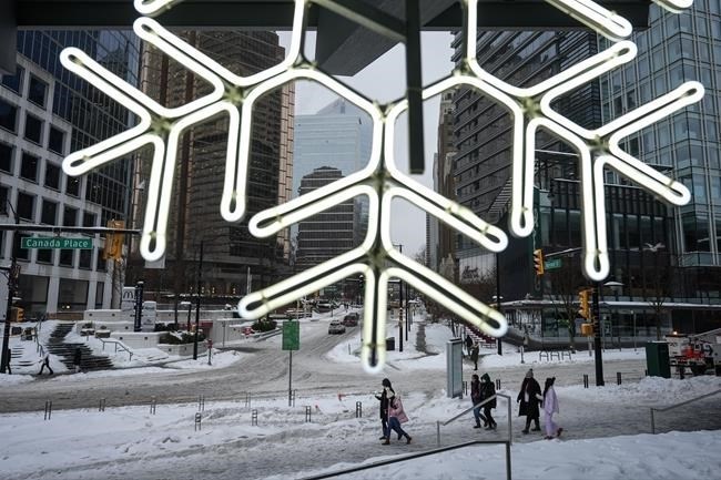
People walk in downtown Vancouver as freezing rain falls, on Friday, Dec. 23, 2022. No weather warnings or watches were posted across British Columbia on Wednesday, Dec. 28, 2022, for the first time in weeks, but Environment Canada says more heavy rain is on the way.
Image Credit: THE CANADIAN PRESS/Darryl Dyck
December 28, 2022 - 11:30 AM
VANCOUVER - No weather warnings or watches were posted across British Columbia for the first time in weeks, but Environment Canada says more heavy rain is on the way while flood watches are still up for large parts of Vancouver Island and the inner south coast.
Communities around the Georgia Strait are also keeping a close eye on sea levels as more exceptionally high tides are due over the next several days, including Wednesday's high of 4.9 metres in Vancouver.
That's slightly below the peak reached early Tuesday when parts of the city's seawall and some low-lying streets were briefly awash, although no major damage was reported.
The River Forecast Centre is maintaining flood watches or high streamflow advisories across Vancouver Island and inner south coast, including the Sunshine Coast, Howe Sound, Sea-to-Sky region, Metro Vancouver and Fraser Valley.
Data from the weather office show Vancouver recorded about 100 millimetres of rain since Christmas Eve and river forecasters say the rain, warmer temperatures and melting snow from pre-Christmas storms have the potential to cause flooding in low-lying areas.
On the mountains, avalanche conditions are ranked as high in parts of southeastern B.C., where Avalanche Canada says recent heavy snow on a weak snowpack has raised the risk to "very dangerous."
It says human-triggered avalanches are "very likely," while conditions on coastal mountains, Vancouver Island, sections of the Okanagan, Shuswap and northwestern B.C. are rated as "considerable," with backcountry users urged to carefully evaluate their routes.
This report by The Canadian Press was first published Dec. 28, 2022.
News from © The Canadian Press, 2022