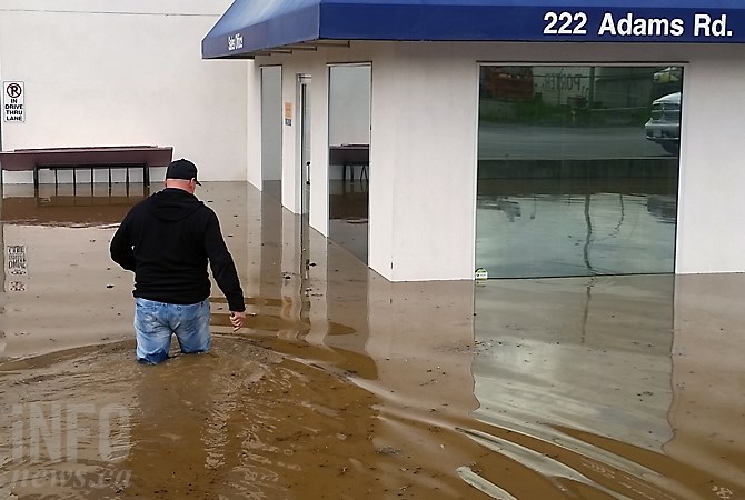
(ADAM PROSKIW / iNFOnews.ca)
February 03, 2022 - 7:30 AM
New mapping being done for the Okanagan Basin Water Board shows that the one-in-500-year flood that happened in the Okanagan in 2017 could happen as frequently as every 20 years if no controls are put in place.
In 2020, mapping was done showing what areas would be flooded if changes were made in the water control system, such as drawing Okanagan Lake levels down 20 cm lower than normal in the fall and winter.
That change in controlling the flow has not happened. The water board and the province have launched a series of 18 studies to determine what fixes are needed in the system, which is basically controlled by a dam on the Okanagan River in Penticton.
Those studies are expected to take seven years to complete.
READ MORE: Worried about flooding or drought in the Okanagan? It’ll take 7 years to find solutions
The new mapping work shows how much more would be flooded if no changes are made.
A presentation by representatives of Northwest Hydraulic Consultants to the board earlier this week also outlined the change in frequency of flooding if nothing is done, given the impact of climate change, that means the snow is melting earlier in the spring and peak flows into the lakes is more unpredictable.
“If we look at the 2017 water level, looking at what actually happened, based on current conditions, that’s estimated to be a 500-year flood,” Sarah North of Northwest Hydraulic Consultants, told iNFOnews.ca after the presentation. “Then, if we assume climate change happens and we assume no change to operations, then the likelihood of that 2017 level flood happening increases.”
That risk increases to once in every 200 years if some controls are put in place but goes to one in 20 years if nothing changes.
The mapping shows, while higher lake levels will have minimal impact on some areas, it could push water 100 to 200 metres further inland in other areas.
It will update the earlier maps done in 2020 on the assumption that modifications would be made. The earlier maps are available on the Okanagan Basin Water Board website here. The new maps likely won’t be posted for a month or so.
It’s hoped that the new mapping will motivate the province to move quicker in allowing changes to be made in how the lake levels are managed.
To contact a reporter for this story, email Rob Munro or call 250-808-0143 or email the editor. You can also submit photos, videos or news tips to the newsroom and be entered to win a monthly prize draw.
We welcome your comments and opinions on our stories but play nice. We won't censor or delete comments unless they contain off-topic statements or links, unnecessary vulgarity, false facts, spam or obviously fake profiles. If you have any concerns about what you see in comments, email the editor in the link above.
News from © iNFOnews, 2022