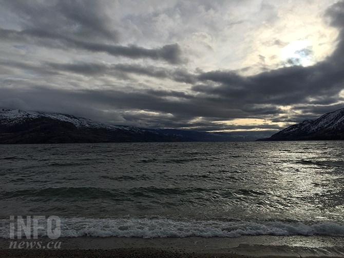
A windy day is forecast for the Okanagan today, with the second snow storm of the week expected to begin overnight Thursday.
(STEVE ARSTAD / iNFOnews.ca)
January 08, 2020 - 2:00 PM
Okanagan residents have one more day to finish digging out from this week’s earlier snowfall before nature delivers a second punch, starting tomorrow night.
Environment Canada meteorologist Doug Lundquist says the next storm to hit the Okanagan will be spread out over a few days.
“Snow is expected over a long period. It won’t be really heavy over any one time, but there could be some decent accumulations in places,” he says.
Lundquist says five to 10 centimetres could fall throughout the valley, with 15 cm at higher elevations over a two and a half day period, beginning tomorrow night, Jan. 9.
“Once this last system goes by, there’s nothing to hold back the Arctic air. We’ll see temperatures drop to minus double digits for overnight lows and only recovering to the -10 C range,” he says.
Today, Jan. 8, in Kelowna it should be mainly cloudy with a 30 per cent chance of showers.
Vernon should see a few flurries with accumulations to two cm followed by mainly cloudy skies.
Both cities should see a high of 2 C.
Penticton should see mainly cloudy skies today with a 40 per cent chance of showers and a high of 4 C before temperatures fall to 2 C this afternoon. Northwest winds are expected at 20 km/h.
Tonight’s low should reach -7 C in Kelowna and Vernon and -5 C in Penticton, under partly cloudy skies.
Tomorrow there is a 60 per cent chance of flurries in the morning, giving way to a mix of sun and cloud in the afternoon, with a high to -1 C in Vernon and Kelowna, 0 C in Penticton. Periods of snow are expected to begin tomorrow night with a low to -6 C.
More snow is forecast for Friday and Friday night with a high of -3 C and low of -5 C.
Periods of snow are expected to continue through Saturday with a high of -2 C and a low of -5 C, with flurries continuing overnight.
There’s more snow returning on Sunday with a high to -2 C. Sunday night the mercury begins to plummet with a low of -12 C expected along with cloudy periods and a 30 per cent chance of flurries.
Monday should see a mix of sun and clouds with a high reaching only -9 C and a low of -14 C.
Tuesday should see a mix of sun and cloud and a high of -10 C.
The Okanagan’s normal high and low for this time of year is -2 C and -8 C.
To contact a reporter for this story, email Steve Arstad or call 250-488-3065 or email the editor. You can also submit photos, videos or news tips to tips@infonews.ca and be entered to win a monthly prize draw.
We welcome your comments and opinions on our stories but play nice. We won't censor or delete comments unless they contain off-topic statements or links, unnecessary vulgarity, false facts, spam or obviously fake profiles. If you have any concerns about what you see in comments, email the editor in the link above.
News from © iNFOnews, 2020