
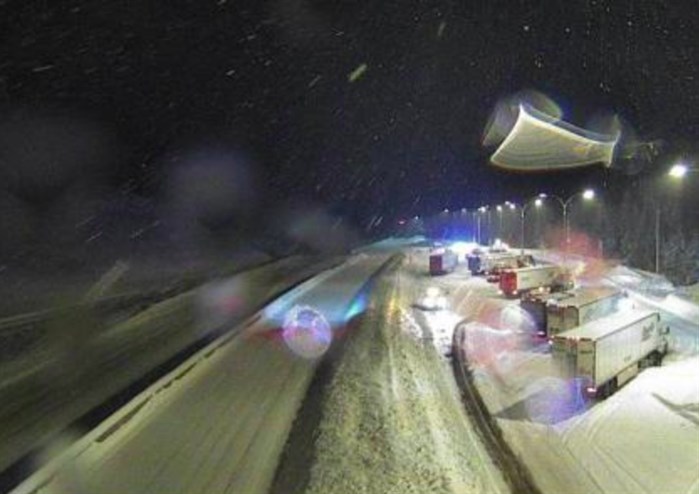
This shows the traffic blocked on the Okanagan Connector near the Pennask Summit this morning.
Image Credit: DriveBC
January 10, 2024 - 7:04 AM
While winter storm watches and snowfall warnings have ended for Southern Interior mountain passes, snowfall alerts are still in place for some areas.
Those include the Coquihalla Highway from Hope to Merritt, Highway 3 from Hope to Princeton and Highway 3 from the Paulson Summit to Kootenay Pass where 5-10 cm of snow are still expected to fall this morning.
“For the Coquihalla Highway from Hope to Merritt, snow will redevelop tonight as an approaching Arctic front interacts with a trough of low pressure over southern BC,” the Environment Canada snowfall alert says. “Additional snowfall amounts of 10 to 15 cm is expected tonight (Jan. 10). Visibility will be suddenly reduced to near zero at times in heavy snow and blowing snow.”
DriveBC is reporting delays on two highways this morning.
The westbound right lane is closed on the Okanagan Connector 1 km west of the Pennask Summit. The next update is expected at 9 a.m. today.
A vehicle recovery between Chuwhels Mountain Road and Inks Lake Road, 1 km south of Kamloops on the Coquihalla Highway, has closed the left lane on the northbound side of the roadway.
Updates on driving conditions can be seen on DriveBC, here.
Coquihalla Highway at Box Canyon about 6:30 a.m. today.
Image Credit: DriveBC
Significant snowfall is no longer expected on Highway 1 from Eagle Pass to Rogers Pass.
Snow is also forecast in the Valley bottoms with 2-4 cm possible in the Okanagan today and overnight tonight with a high temperature today of –3 Celsius dropping to -9 C overnight.
As the Arctic front moves into the region, a low of -25 C is forecast for the Okanagan Saturday morning before there will be a slight easing. But, daytime highs early next week are expected to still be below -10 C.
Kamloops could get 2 cm of snow today and overnight tonight with a high today of -3 C and an overnight low of – 11 C. Its coldest night of the coming cold snap is forecast to be -26 C by Saturday morning.
To contact a reporter for this story, email Rob Munro or call 250-808-0143 or email the editor. You can also submit photos, videos or news tips to the newsroom and be entered to win a monthly prize draw.
We welcome your comments and opinions on our stories but play nice. We won't censor or delete comments unless they contain off-topic statements or links, unnecessary vulgarity, false facts, spam or obviously fake profiles. If you have any concerns about what you see in comments, email the editor in the link above. SUBSCRIBE to our awesome newsletter here.
News from © iNFOnews, 2024