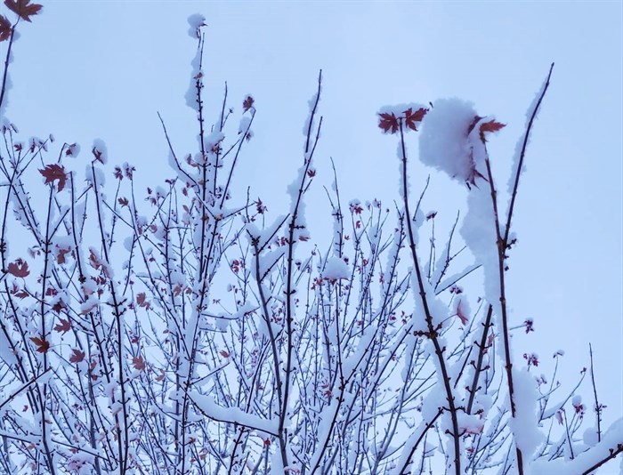
FILE PHOTO - More winter weather is in both the near and long-term forecasts for Kamloops and the Okanagan. After an unusually-warm October, the region became unusually cold at the beginning of November, and the winter weather continued throughout the month.
(DAN WALTON / iNFOnews.ca)
November 29, 2022 - 4:30 PM
More winter weather is in both the near and long-term forecasts for Kamloops and the Okanagan.
After an unusually-warm October, the region became unusually cold at the beginning of November, and the winter weather continued throughout the month.
With more Arctic air on its way through the Interior, more low temperatures are in the forecast.
“It’s well below the seasonal normal for this time of year,” Environment Canada meteorologist Alyssa Charbonneau said.
READ MORE: Cold air pushes into southern B.C., bringing wind, snow and Arctic chill
“We'll see a bit of warming tomorrow (Nov. 30) with this next system, as well as some snow. But (the Arctic air) will be making one more push in the later part of week, so by Thursday and Friday it will be cold again will lows of -14 Celsius in the Okanagan."
Kamloops is expected to dip as low at -18 C on the evening of Dec. 1.
Weather systems originating from the Arctic typically make a few “big pushes” into the Interior each year, Charbonneau said. “This year is interesting because we had one early November and now we’re already having another.”
READ MORE: Front-loaded, cold and snowy winter ahead, Weather Network forecast suggests
Throughout B.C., The Weather Network is forecasting a “come-and-go winter.”
The network's winter forecast predicts the province will go through extended periods of colder-than-normal temperatures with a heightened risk for periods of severe cold.
Overall there's expected to be near-normal or slightly colder-than-normal temperatures this winter.
“Below normal precipitation totals are expected for the northern and central coast, but an active storm track is expected for southern B.C., which should bring above-normal precipitation totals to most of this region,” the forecast said.
“Substantial snowfall” can also be expected at lower elevations including the Okanagan. And temperatures are expected to remain lower into the spring.
“This should set the stage for an excellent and extended ski season,” The Weather Network predicts.
To keep travellers up to speed about the latest issues on the Interior highways this winter, iNFOnews.ca publishes the iN TRAFFIC report every morning around 7 a.m. and posts updates throughout the day.
To contact a reporter for this story, email Dan Walton or call 250-488-3065 or email the editor. You can also submit photos, videos or news tips to the newsroom and be entered to win a monthly prize draw.
We welcome your comments and opinions on our stories but play nice. We won't censor or delete comments unless they contain off-topic statements or links, unnecessary vulgarity, false facts, spam or obviously fake profiles. If you have any concerns about what you see in comments, email the editor in the link above.
News from © iNFOnews, 2022