Image Credit: DriveBC
January 31, 2023 - 7:00 AM
Snow flurries are expected to turn into heavier snowfall in Kamloops, the Okanagan and mountain passes today, Jan. 31, according to B.C. Travellers Forecast.
There is a 70% chance of flurries this morning on the Coquihalla Highway from Hope to Merritt, changing to 30% near noon with gusty winds. Periods of snow are expected to start this evening with accumulations of up to 5 cm.
From Merritt to Kamloops there is a 70% chance of flurries today with gusty winds. Snow is expected to start falling after midnight with 5 cm expected to fall.
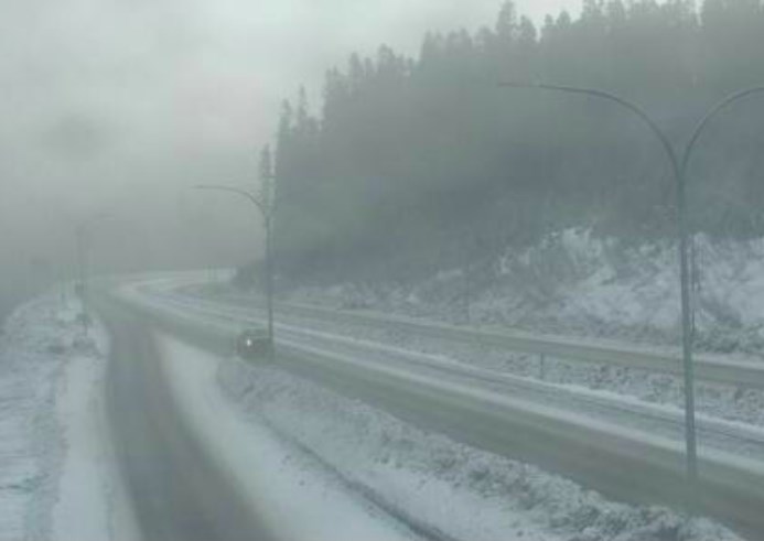
The Okanagan Connector will have periods of snow beginning this morning with up to 2 cm accumulating with gusty winds.
Highway 3 from Hope to Princeton has a 40% chance of snow today with gusty winds. Snow is expected to start falling after midnight.
On Highway 1, there is compact snow from 15 km east of Chase to 8 km west of Sicamous with slippery sections from there to 14 km east of Glacier National Park.
From Eagle Pass to Rogers Pass 5-10 cm of snow is expected today and another 2-4 cm tonight.
RCMP have issued a travel advisory for the Trans-Canada Highway through the Shuswap region this afternoon. Salmon Arm RCMP said in a media release issued today, Jan. 31, that a number of single vehicle accidents had been reported in roughly 45 minutes this afternoon. The fresh snow is creating icy conditions on the highways and roads in the region. Police are asking drivers to slow down and take care.
Highway 97 is closed to all traffic a few kilometres east of Monte Creek following a car crash. Expect major delays and watch for traffic control. A detour is available via Barnhartvale Road, according to DriveBC.
Periods of snow are expected in Kamloops, ending this afternoon with highs of -4 Celsius. After a bit of clearing snow is expected to start falling again after midnight, according to Environment Canada’s forecast.
Vernon can expect 2-4 cm of snow except 5 cm near Enderby and Lumby. Today’s high is forecast to reach -5 C with winds up to 15 km/h.
Periods of snow are expected in Kelowna starting this morning with accumulations of 2-4 cm, a high of -3 C and winds up to 15 km/h.
Penticton faces a 60% chance of flurries this morning with winds gusting up to 40 km/h and a high of -2 C.
Sun Peaks Ski Resort had 3 cm of new snow in the last 24 hours leaving the hill with an alpine base of 182 cm. It’s -12 C.
Silver Star Mountain Resort is -13 C, with 3 cm of new snow in the last 24 hours and an alpine base of 194 cm.
Big White Ski Resort had no new snow in the last 24 hours, is -11 C and has an alpine base of 200 cm.
Apex Mountain Resort had no new snow in the last 24 hours has an alpine base of 170 cm and is -10 C.
— This story was updated at 4:13 p.m. with new information.
To contact a reporter for this story, email Rob Munro or call 250-808-0143 or email the editor. You can also submit photos, videos or news tips to the newsroom and be entered to win a monthly prize draw.
We welcome your comments and opinions on our stories but play nice. We won't censor or delete comments unless they contain off-topic statements or links, unnecessary vulgarity, false facts, spam or obviously fake profiles. If you have any concerns about what you see in comments, email the editor in the link above.
News from © iNFOnews, 2023