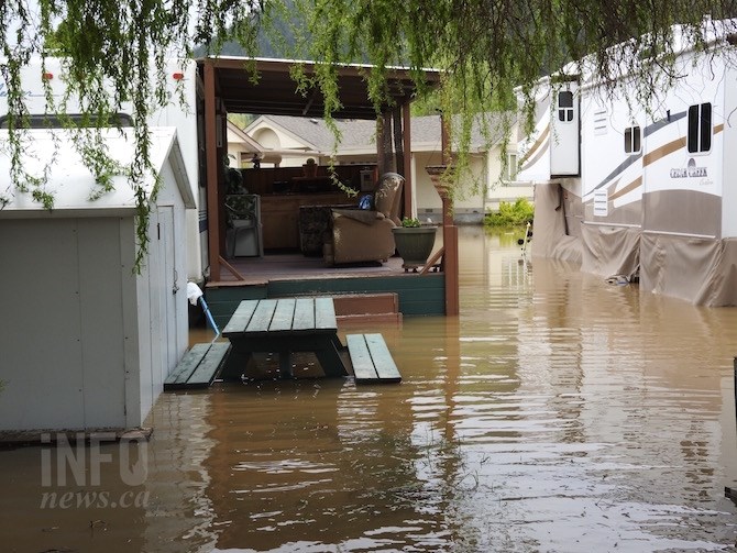
Over half the residents in Turtle Bay have been placed on a voluntary evacuation due to localized flooding.
(JENNA HICKMAN / iNFOnews.ca)
May 08, 2017 - 5:39 PM
CENTRAL OKANAGAN - It's been a rough weekend for many residents in the Central Okanagan trying to dry out from unusual spring flooding.
If you live near one of the region's many creeks and tributaries, you already know there's a lot of water coming down from the mountains. If not, you've likely been reading about evacuations, alerts and stories of flooding and it can be a little confusing.
We broke down some of the worst hit areas to show you exactly where the flooding is taking place along with photos of the carnage taken today. Click on the placemarkers for photos. You can compare this to the map prepared by local authorities showing road closures, evacuation areas and alerts.
To contact a reporter for this story, email Jenna Hickman or call 250-808-0143 or email the editor. You can also submit photos, videos or news tips to the newsroom and be entered to win a monthly prize draw.
We welcome your comments and opinions on our stories but play nice. We won't censor or delete comments unless they contain off-topic statements or links, unnecessary vulgarity, false facts, spam or obviously fake profiles. If you have any concerns about what you see in comments, email the editor in the link above.
News from © iNFOnews, 2017