
This aerial photos of the Yacht Club Regatta in Summerland was taken with a drone.
Image Credit: SUBMITTED/ Robert Brunet
September 12, 2024 - 6:00 AM
There's no shortage of gorgeous scenery to enjoy in Kamloops and the Okanagan but some views of our cities and landscapes are trickier to get.
Images captured this summer by area photographers were taken from high above from small aircraft or with drones, lending very different perspectives.
Sailboats, bridges, rolling topography and urban landscapes are pictured in this summertime aerial collection.
READ MORE: iN PHOTOS: Exploring a 125-year-old shipwreck in BC's Kootenay Lake
If you have aerial photos of Kamloops or the Okanagan you want to share, send them to news@infonews.ca.
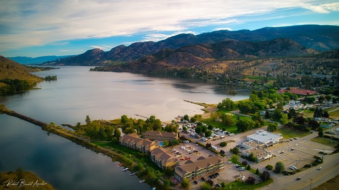
Skaha Lake at Okanagan Falls as seen from high in the air.
Image Credit: SUBMITTED/ Robert Brunet
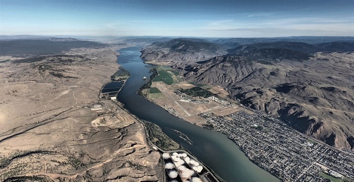
Part of Kamloops was photographed from an ultralight aircraft.
Image Credit: SUBMITTED/ Jan Nademlejnsky
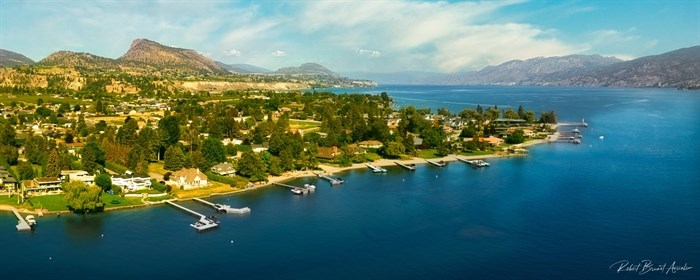
Summerland is seen from above on a bright sunny day.
Image Credit: SUBMITTED/ Robert Brunet
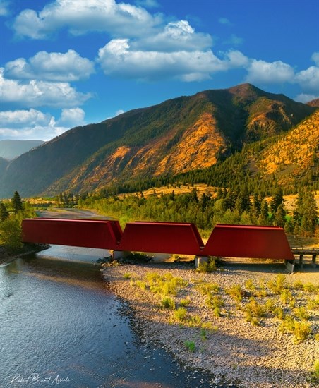
This red bridge photographed by a drone is located in Keremeos.
Image Credit: SUBMITTED/ Robert Brunet
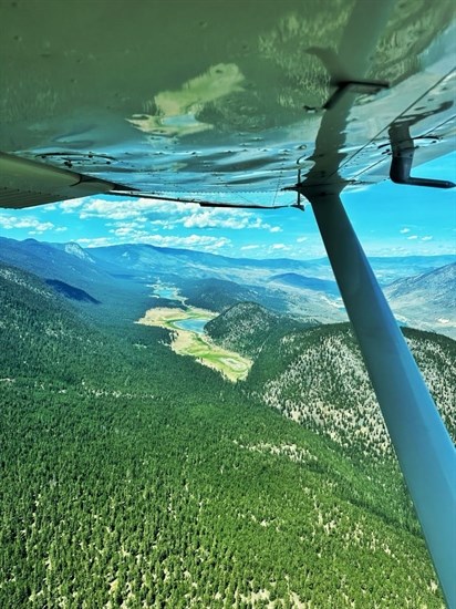
This photo over Venables Valley near Ashcroft was taken from a Cessna 172.
Image Credit: SUBMITTED/ Steven Seibert
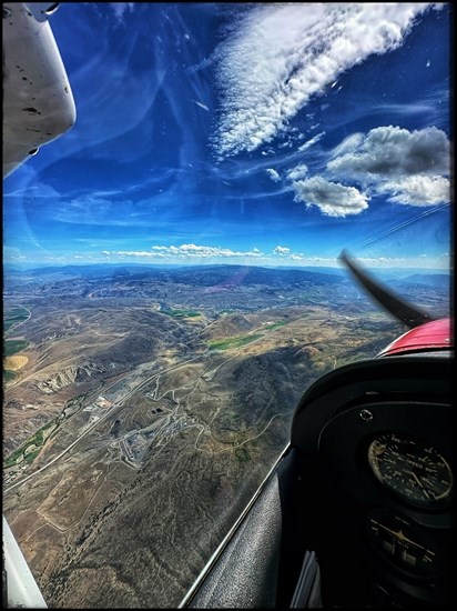
Cache Creek is viewed from a Cessna 172.
Image Credit: SUBMITTED/ Steven Seibert
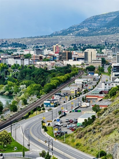
Downtown Kamloops is pictured in this aerial photograph.
Image Credit: SUBMITTED/ Qazi Mohammad Yasir
To contact a reporter for this story, email Shannon Ainslie or call 250-819-6089 or email the editor. You can also submit photos, videos or news tips to the newsroom and be entered to win a monthly prize draw.
We welcome your comments and opinions on our stories but play nice. We won't censor or delete comments unless they contain off-topic statements or links, unnecessary vulgarity, false facts, spam or obviously fake profiles. If you have any concerns about what you see in comments, email the editor in the link above. SUBSCRIBE to our awesome newsletter here.
News from © iNFOnews, 2024