(JENNIFER STAHN / iNFOnews.ca)
September 02, 2023 - 7:00 AM
The final figures on the meteorological summer’s heat and rainfall won’t be in until next week but they will likely show it as one of the hottest summers on record for Kamloops and the Okanagan.
While the official last day of summer isn't until Sept. 22, Environment Canada’s meteorologists schedule the seasons by the calendar so, for them, summer is June 1 to Aug. 31.
“For the summer as a whole, there are definitely possibilities of being in the top five warmest for the whole area,” Environment Canada meteorologist Bobby Sekhon told iNFOnews.ca.
Heat records were broken in the early part of August, especially on Aug. 15, when Kamloops, Kelowna, Vernon and Penticton all broke daily records, most of which were higher than 38 Celsius.
READ MORE: 8 more heat records broken in Thompson-Okanagan as wildfire smoke moves in
That heat led up to devastating wildfires roaring into life in the Okanagan (McDougall Creek Wildfire) and the Shuswap (Bush Creek East Wildfire).
Because of the rainfall over the last few days, how the region stands for precipitation records for the season is still unclear.
Kelowna has been the driest of the region’s cities all year, recording only 44% of its normal rainfall from November to the end of July.
READ MORE: Drought deepens in Kamloops and the Okanagan
“The normals for the Okanagan-Thompson areas are somewhere around 100 millimetres for the summer,” Sekhon said. “Our numbers are going to be struggling to be even half of that.”
For the three summer months, Kelowna was 45% of normal, Vernon 53%, Penticton 61% and Kamloops 64%. That was up until Aug. 28, so the final percentages could change slightly.
“For the fall, the seasonal model is showing a probability of above normal temperatures and a slight probably of drier conditions as well,” Sekhon said. “But with the precipitation forecast, it’s not very reliable.”
The province just lived through three consecutive La Nina winters, which tend to be colder than normal.
“We’re heading towards a fairly moderate to strong El Nino this winter,” Sekhon said. “It’s strength is supposed to peak over the winter and generally, in BC, we see the effects of El Nino after the New Year.”
Usually in BC, El Nino brings milder winters. It’s not possible to tie precipitation forecasts to the weather pattern, Sekhon said.
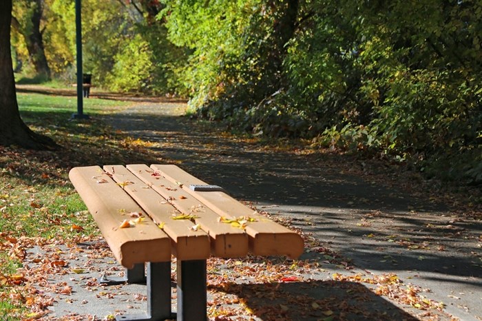
Fall is starting off mostly sunny with high temperatures ranging from 24 C to 28 C through this Labour Day long weekend.
To contact a reporter for this story, email Rob Munro or call 250-808-0143 or email the editor. You can also submit photos, videos or news tips to the newsroom and be entered to win a monthly prize draw.
We welcome your comments and opinions on our stories but play nice. We won't censor or delete comments unless they contain off-topic statements or links, unnecessary vulgarity, false facts, spam or obviously fake profiles. If you have any concerns about what you see in comments, email the editor in the link above. SUBSCRIBE to our awesome newsletter here.
News from © iNFOnews, 2023