
Packhorses along the Okanagan Fur Brigade Trail in this undated photo.
Image Credit: Submitted/Westbank Museum
March 16, 2024 - 6:00 PM
Anyone driving Highway 97 from Penticton to Kelowna, up Westside Road or beside Monte Lake is rolling along a pathway that’s thousands of years old.
Those roads cover much of what was once dubbed the Fur Brigade Trail but that was a European name for an historic First Nation’s travel route and was only used by fur traders for a few years.
The Syilx (Okanagan) people had travelled that route for thousands of years prior to any European stepping into their vast territory.
“Parts of the Okanagan people were migratory,” Jeremiah Ryder, executive director of the Westbank Museum, told iNFOnews.ca. “Groups of them would move from the north end of the valley down to the south end of the valley, depending on the time of year and the resources available.
“There was some trading in obsidian. There was some trading in different types of shells, like oyster shells and mussel shells between the Interior and the Coastal Salish and other peoples down there. I know the Okanagan people traded to get horses from the Nez Perce down in Washington.”
That all changed starting in 1811 after the Pacific Fur Trading Company established Fort Astoria at the mouth of the Columbia River. Fur traders quickly moved inland to create Fort Okanogan, where the Okanagan River flows into the Columbia River, then up into the Okanagan Valley.
READ MORE: Hatchet man, trickster or valued peacekeeper in Kamloops? Will the real Chief Lolo please stand up
The Syilx territory stretched from what is now Wilbur, Washington to north of Revelstoke, west into the Nicola Valley and east almost to Kootenay Lake.
Naturally, the fur traders followed the pathways created by the travelling Syilx as they continued all the way to Fort Kamloops then up to Fort Alexandria and beyond. That was dubbed the Fur Brigade Trail, stretching more than 800 km.
“The section from Fort Okanogan north to Kamloops followed the east side of the Okanogan River, crossed to the west side near the present town of Oroville, Washington and continued north along the west side of Osoyoos Lake and Okanagan River,” Ken Favrholdt, now the archivist at the Secwépemc Museum in Kamloops, wrote in his 1997 UBC graduate thesis called The Cordilleran Communication: The Brigade System of the Far Western Fur Trade.
That work covers trails throughout the mountainous regions of the Pacific Northwest.
“Some back valleys, via Myers Flat, White Lake and Marron Valley, provided an alternative route between Osoyoos and Okanagan lakes, possibly to avoid flooded lowlands in the spring,” Favrholdt wrote. “The trail also followed back valleys along the west side of Okanagan Lake as far as present Peachland, following the route of the modern Highway 97 to present Westbank, then along benchlands above the lake to Shorts Creek where it continued along the shore to the head of the lake.
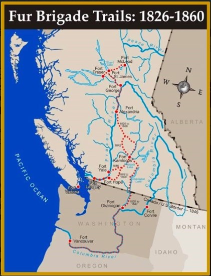
Image Credit: Submitted/Westbank Museum
“From the north end of Okanagan Lake, the trail went past Round Lake to Salmon River, then through a natural grassland bowl named by the fur traders Grand Prairie (now Westwold). The divide between the Fraser and Columbia drainage system – the height of the land between the Okanagan Valley and the South Thompson River Valley – is reached near Monte Lake. This name derives from la montee, meaning the climb, referring to the long uphill march that the brigade made from the Thompson Valley to the summit.”
The trail then followed along the south side of the South Thompson River but had to cross to the north to reach Fort Kamloops.
“Until 1842, the fort was located on the northeast corner of the river junction, necessitating the crossing of furs and supplies by canoe and initially the swimming of horses,” Favrholdt wrote. “The use of such a long horse portage between Forts Okanogan and Alexandria made Thompson’s River Post (Kamloops) an essential node of the brigade system. Even though Kamloops was only a marginal place for furs, the length of the overland journey necessitated an intermediate post for safety and resupply.”
The route then continued along the east side of the North Thompson River, which it crossed at La Traverse (present day Little Fort), up what is now Highway 24 to 100 Mile House, through Williams Lake to Fort Alexandria on the Fraser River.
While much of the route followed lakes and rivers, there were good reasons to travel overland, rather than by water.
“Although Okanagan Lake and River were navigable (except for a short portage around Okanagan Falls) the use by boats would have entailed another post at the head of Okanagan Lake, at an additional expense,” Favrholdt wrote.
READ MORE: How a South Okanagan town got its name from a waterfall that no longer exists
At one time it appeared that the North West Company had an outpost on the peninsula between the two arms at the north end of Okanagan Lake and transported furs by canoe.
“Water transport was cheaper than land transport but much less flexible,” Favrholdt wrote. “Waterways did not go everywhere. Road transport was generally as fast or faster than water transport upriver; downstream, water transport was twice as fast as by trail.”
The chances of delays, damage, injury or death were lower over land than on water.
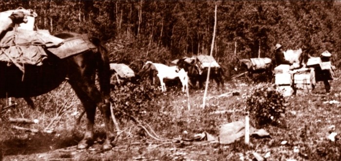
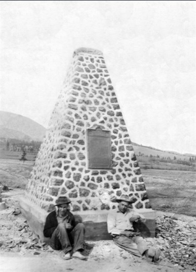
Image Credit: Submitted/Westbank Museum
After 1821, when the Hudson’s Bay Company merged with the North West Company, only the overland route was used.
“Osoyoos actually had a trading post,” Ryder said. “That was a known entity. It was there as a layover point and a staging point.”
While it could be argued that Osoyoos was the first European settlement in the Okanagan, predating the Jesuit’s St. Joseph’s Mission of 1845, it’s likely only tents were erected there so it didn’t qualify as an actual settlement.
READ MORE: Location of Okanagan’s first European settlement sparking conflict between historians
“The fur traders journeyed along the western edge of Okanagan Lake with a pack train of up to 300 horses carrying supplies,” the Summerland parks website said. “This formation was called a ‘brigade.’ Progress was slow, and camps were set up approximately every 14 miles.”
The fur trading route only lasted 35 years.
“In 1846, the Okanagan Fur Brigade Trail was abandoned following the signing of the Treaty of Oregon between Great Britain and the United States of America,” said a Westbank Museum post. “This treaty established the border along the 49th parallel and cut off British, and therefore the Hudson’s Bay Company’s, access to the Columbia River south of that boundary. As a result, the Hudson’s Bay Company traders had to cross the difficult mountain passes to move west to the coast and the forts at Langley and Yale.
“The trail would not see any known non-indigenous use until the Cariboo Gold Rush that began in 1861. From that time on it would be used occasionally by ranchers and others travelling to regions north of the Okanagan. “
One of those was Susan and John Allison who arrived around 1843 and built a log cabin at what is now Quail’s Gate Estate Winery, Ryder said. They drove their cattle along the trail to the Cariboo but only infrequently. They later founded the town of Princeton.
There are still some original sections of the trail accessible to the public, although many parts are covered by paved roads or on private land, Ryder said.
This cairn is still in place. This is a 1949 photo.
Image Credit: Submitted/Westbank Museum
There is a cairn at the junction of Old Okanagan Highway and Highway 97 in West Kelowna where the Syilx met the fur traders and exchanged goods, but no structures were ever built there Ryder said.
The Peachland Visitor’s Centre website gives directions to an 8 km section near the south end of that town.
“From Highway 97, take Hardy Street and follow it as it turns sharply left and becomes Thorne Road, a dirt road,” it says. “Make another left turn onto Log Chute Road and follow the road as it switches back and forth a few times. Park safely on the side of the road at the trail head, which is marked with a blue and white hiker symbol. If you reach the orchards, you have gone too far.”
From Summerland, the Garnett Valley Road follows the trail. At the Garnett Valley Dam is the Priest Camp Historic Park, which was one of the camps along the trail.
“The trail is 4.1 km long and at the end of the trail you are offered one of the most sensational viewpoints of Okanagan Lake,” the Summerland parks page says.
It’s unlikely, given the fact that so many roads cover the trail, some is on private land and, in the U.S., some is flooded by hydroelectric dams, that it will ever be restored in any whole manner.
“There are some of us who would like to see more of a permanent designation of the trail from border to Kamloops wherever we can,” Ryder said.
There are groups working to preserve parts of the trail and the Trail of the Okanagans, which is trying to connect the Okanagan Rail Trail all the way south to Osoyoos, sees the Summerland section of the Fur Brigade Trail as a potential link on that trail.
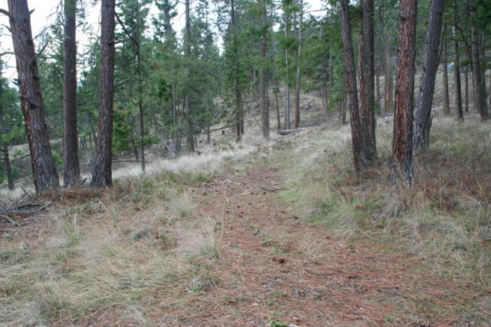
Part of the present day trail that still remains.
Image Credit: Submitted/Westbank Museum
To contact a reporter for this story, email Rob Munro or call 250-808-0143 or email the editor. You can also submit photos, videos or news tips to the newsroom and be entered to win a monthly prize draw.
We welcome your comments and opinions on our stories but play nice. We won't censor or delete comments unless they contain off-topic statements or links, unnecessary vulgarity, false facts, spam or obviously fake profiles. If you have any concerns about what you see in comments, email the editor in the link above. SUBSCRIBE to our awesome newsletter here.
News from © iNFOnews, 2024