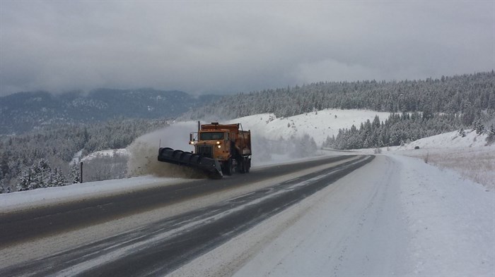
Image Credit: @VSAMaintenance via Twitter
January 02, 2019 - 9:44 AM
KAMLOOPS - A winter storm is forecast for parts of southern B.C. today with heavy snowfall expected to start this afternoon.
Environment Canada has issued a snowfall warning for the North Thompson and Shuswap regions today, Jan. 2, with with accumulations of 15 to 25 centimetres by the time the snow eases tomorrow.
“Due to the very strong flow across the Coast Mountains, the highest snow accumulations will be areas near Clearwater in the North Thompson region and areas near Sicamous in the Shuswap region,” the snowfall warning states. “Chase, Salmon Arm and Barriere are expected to receive lesser accumulations.”
The weather office has also issued winter storm warnings for a pair of southern Interior mountain passes.
Hazardous winter driving conditions are expected along the Coquihalla Highway between Merritt and Hope with accumulations of up to 35 cm by late tomorrow. There’s a chance of freezing rain over sections of the highway tomorrow morning and early afternoon as a warm front moves through the area.
Another warning is in effect for the Trans-Canada Highway from Eagle Pass to Rogers Pass starting this morning, Jan 2. That storm front is moving down from northern B.C. and expected to stall across the area until tomorrow evening with snow accumulation of up to 35 cm.
For the latest road conditions go to Drive B.C. here.
The latest on weather warnings can be found at Environment Canada's website here.
To contact a reporter for this story, email Rob Munro or call 250-808-0143 or email the editor. You can also submit photos, videos or news tips to the newsroom and be entered to win a monthly prize draw.
We welcome your comments and opinions on our stories but play nice. We won't censor or delete comments unless they contain off-topic statements or links, unnecessary vulgarity, false facts, spam or obviously fake profiles. If you have any concerns about what you see in comments, email the editor in the link above.
News from © iNFOnews, 2019