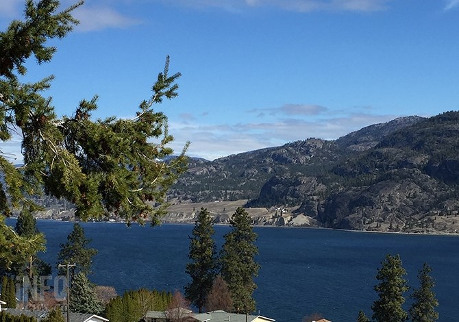
Cool temperatures dominated the March weather picture in Kamloops and the Okanagan, with the possibility of record cold overnight temperatures continuing into the first week of April.
(STEVE ARSTAD / iNFOnews.ca)
April 01, 2020 - 1:00 PM
It may be April, but the Okanagan and Kamloops are in for some possibly record overnight low temperatures over the next three days.
Environment Canada meteorologist Doug Lundquist says all it will take is a clear night for temperatures to plummet.
Temperatures are expected to drop to around -8 Celsius in parts of the Okanagan tonight, April 1, and Friday night, and as low as -7 C in Kamloops.
As for March, Lundquist says it was colder than average in Kamloops, Vernon, Kelowna and Penticton with below average precipitation.
Kamloops's average temperature was 3.6 C, which is 1.6 C below the monthly norm of 5.2 C. Vernon’s average temperature was 2.9 C, compared to the monthly norm of 3.9 C. Kelowna’s average temperature was 3.4 C, 1.2 C below that city’s monthly norm of 4.6 C. Penticton finished March with an average temperature of 3.8 C, also 1.2 C below the normal average temperature of 5 C.
“Once it’s more than a degree, that’s getting cold,” Lundquist says.
Kamloops and the Okanagan also saw little precipitation in March, even though Lundquist says spring is dry anyway.
Kamloops only saw 2.2 mm compared to 13 mm that normally falls in March. Vernon’s precipitation was down by almost half at 14 mm compared to the city’s normal 25 mm for March. Penticton’s numbers were almost identical at 14 mm compared to the 24 mm that normally falls on that city. No March precipitation numbers were available for Kelowna.
Lundquist says the March figures don’t make the top five coldest and driest in history but he notes February last year was similarly cold and dry.
“This year was less extreme,” he says.
The long range prediction for April through June is for generally warmer conditions in the province as one moves west.
Lundquist says the coast is expected to be on the edge of average to near-average temperatures, with the Rockies and Peace country at near or below average temperatures.
“It’s tough to pick which way the Interior will go, but if climate change is factored in the balance probably tips toward warmer than average conditions,” he says.
To contact a reporter for this story, email Steve Arstad or call 250-488-3065 or email the editor. You can also submit photos, videos or news tips to tips@infonews.ca and be entered to win a monthly prize draw.
We welcome your comments and opinions on our stories but play nice. We won't censor or delete comments unless they contain off-topic statements or links, unnecessary vulgarity, false facts, spam or obviously fake profiles. If you have any concerns about what you see in comments, email the editor in the link above.
News from © iNFOnews, 2020