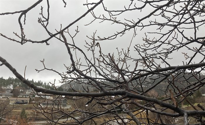
The cloudy, mild and wet conditions we've seen over the past week are expected to continue in Kamloops and the Okanagan this week, as a continuing series of Pacific frontal systems make their way across the province.
(STEVE ARSTAD / iNFOnews.ca)
January 05, 2021 - 7:00 AM
The new year has not brought an expected change in the weather to Kamloops and the Okanagan wreaking havoc on long term winter forecasts for the region.
Environment Canada meteorologist Doug Lundquist says the near-term forecast for the first two weeks of January, “could be extraordinarily warm, even over high terrain, over the next week to 10 days."
“There is a chance by February we might get back to average, and March might be cold, but we’ve been saying that and it’s backing off. We did say December would be warm, but January would be average, but it’s warm,” Lundquist says.
He says every time Arctic air makes an appearance it seems to back off again. This may imply a colder and later spring, as there is a La Nîna pattern in the Pacific ocean this year. That usually means a colder and wetter winter for the B.C. interior.
“It’s looking really mild for January, with February closer to normal, and March cold,” he says, adding the weather has been a blessing, as it's enabled people to get outside in this year of COVID-19 restrictions.
This week, Lundquist says to expect a repeat of last week’s weather with continuing mild Pacific air bringing persistent rain to the valley bottoms and snow at higher elevations.
“It’s snowing in the high terrain for the next day or two, then there is another system crossing the Interior that might make it pretty blustery Tuesday night into Wednesday. I think we’ve underestimated the highs for Wednesday. I wouldn’t be surprised if we don’t see temperatures of 8 or 10 Celsius for the middle of this week,” he says.
The rain or rain-snow mix is expected to continue with periods of rain or showers tomorrow.
A high pressure ridge is expected to settle in later this week, bringing temperatures back to the 3 or 4 C mark for daytime highs, under cloudy skies.
Kamloops's normal high and low for this time of year is -1 C and -8 C. In Vernon, Kelowna and Penticton it's normally -2 C for a high and -8 C for the low in early January.
Lundquist says that will probably mean sun at the local ski resorts and low cloud in the valleys as an inversion forms in the Okanagan.
“There might be some sun, too. It’s been a very unusual year. We haven’t had that low cloud, not like we usually see throughout the winter. Very unusual,” Lundquist says.
To contact a reporter for this story, email Steve Arstad or call 250-488-3065 or email the editor. You can also submit photos, videos or news tips to tips@infonews.ca and be entered to win a monthly prize draw.
We welcome your comments and opinions on our stories but play nice. We won't censor or delete comments unless they contain off-topic statements or links, unnecessary vulgarity, false facts, spam or obviously fake profiles. If you have any concerns about what you see in comments, email the editor in the link above.
News from © iNFOnews, 2021